Aiud geodata
Aiud (Alba) is a seat of a second-order administrative division; located in Romania in Europe/Bucharest (GMT+3) time zone. With population of 28,341 people, there are 79 cities with bigger population in this country. Compared to other cities in Romania, 62.4% of cities are located further ↓South; 73.9% of cities are located further →East and 58.3% of cities have lower elevation than Aiud. Note1


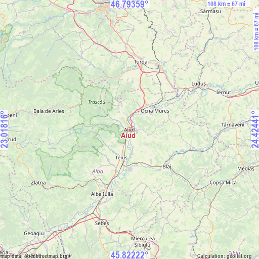
Aiud GPS coordinates[2]
46° 18' 36.216" North, 23° 43' 16.608" East
| Map corner | latitude | longitude |
|---|---|---|
| Upper-left | 46.79359°, | 23.01816° |
| Center: | 46.31006°, | 23.72128° |
| Lower-right: | 45.82222°, | 24.42441° |
| Map W x H: | 108×108 km | = 67.1×67.1mi |
| max Lat: | 48.23793° ⇑37.6% North |
| Aiud: | 46.31006° |
| min Lat: | ⇓62.4% South 43.65638° |
| min Long | Aiud | max Long |
| 20.31667° | 23.72128° | 29.65403° |
| W 26.1%⇐ | ⇒73.9% E |
Elevation
Elevation of Aiud is 254 m = 833 ft, and this is 0.90000000000001 m = 3 ft below average elevation for this country.
| Max E: |
1278 m = 4193 ft | 41.7% |
| Avg. | 254.9 m = 836 ft | |
| Aiud | 254 m = 833 ft | |
Min E: |
-2 m = -7 ft | 58.3% |
See also: Romania elevation on elevation.city.
Geographical zone
Aiud is located in North temperate zone (between Tropic of Cancer and the Arctic Circle). Distance of this North polar circle is 2252 km =1399.3 mi to North.| Distance of | km | miles | from Aiud |
|---|---|---|---|
| North Pole | 4857.9 | 3018.6 | to North |
| Arctic Circle | 2252 | 1399.3 | to North |
| Tropic Cancer | 2543.3 | 1580.3 | to South |
| Equator | 5149.2 | 3199.6 | to South |


Nearby cities:
15 places around Aiud: (largest is in red/bold)
• Aiudul de Sus
2.5 km =1.6 mi,  286°
286°
• Beța
9.6 km =6 mi,  130°
130°
• Băgău
5.6 km =3.5 mi,  89°
89°
• Cisteiu de Mureș
10.3 km =6.4 mi,  43°
43°
• Ciuguzel
11 km =6.8 mi,  105°
105°
• Ciumbrud
3.2 km =2 mi, 93°
• Decea
8.8 km =5.5 mi,  22°
22°
• Livezile
8.1 km =5 mi,  303°
303°
• Lopadea Nouă
7.8 km =4.8 mi, 105°
• Mirăslău
6.3 km =3.9 mi,  356°
356°
• Măgina
6.4 km =4 mi, 302°
• Poiana Aiudului
10.8 km =6.7 mi, 304°
• Rădeşti
4.8 km =3 mi,  184°
184°
• Sâncrai
3 km =1.9 mi, 127°
• Uioara de Jos
11.3 km =7 mi,  53°
53°
Sources, notices
• [Note1] Compared only with cities in Romania existing in our database
• [Src1] Map data: © OpenStreetMap contributors (CC-BY-SA)
• [Src2] Other city data from geonames.org with taken over terms of usage.
• [Src3] Geographical zone / Annual Mean Temperature by Robert A. Rohde @ Wikipedia
