Radovnica geodata
Radovnica (Central Serbia) is a populated locality; located in Serbia in Europe/Belgrade (GMT+2) time zone. With population of 1,062 people, there are 310 cities with bigger population in this country. Compared to other cities in Serbia, 96.8% of cities are located further ↑North; 98% of cities are located further ←West and 99.8% of cities have lower elevation than Radovnica. Note1


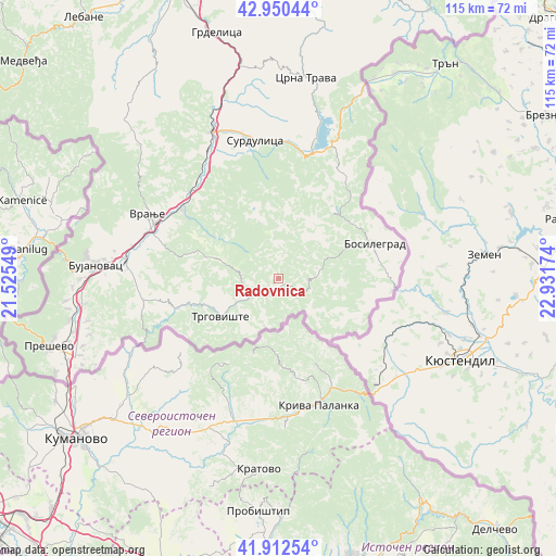
Radovnica GPS coordinates[2]
42° 26' 1.104" North, 22° 13' 42.996" East
| Map corner | latitude | longitude |
|---|---|---|
| Upper-left | 42.95044°, | 21.52549° |
| Center: | 42.43364°, | 22.22861° |
| Lower-right: | 41.91254°, | 22.93174° |
| Map W x H: | 115.4×115.4 km | = 71.7×71.7mi |
| max Lat: | 46.1° ⇑96.8% North |
| Radovnica: | 42.43364° |
| min Lat: | ⇓3.2% South 42.25846° |
| min Long | Radovnica | max Long |
| 18.9276° | 22.22861° | 22.77556° |
| W 98%⇐ | ⇒2% E |
Elevation
Elevation of Radovnica is 1282 m = 4206 ft, and this is 1105.6 m = 3627 ft above average elevation for this country.
| Max E: |
1421 m = 4662 ft | 0.2% |
| Radovnica | 1282 m 4206 ft | |
| Avg. | 176.4 m = 579 ft | |
Min E: |
49 m = 161 ft | 99.8% |
See also: Serbia elevation on elevation.city.
Geographical zone
Radovnica is located in North temperate zone (between Tropic of Cancer and the Arctic Circle). Distance of this Northern Tropic circle is 2112.3 km =1312.5 mi to South.| Distance of | km | miles | from Radovnica |
|---|---|---|---|
| North Pole | 5288.9 | 3286.4 | to North |
| Arctic Circle | 2683 | 1667.1 | to North |
| Tropic Cancer | 2112.3 | 1312.5 | to South |
| Equator | 4718.2 | 2931.8 | to South |


Nearby cities:
15 places around Radovnica: (largest is in red/bold)
• Biljača
40.4 km =25.1 mi,  257°
257°
• Bosilegrad
21.4 km =13.3 mi,  69°
69°
• Bujanovac
38 km =23.6 mi,  274°
274°
• Buštranje
40.6 km =25.2 mi,  253°
253°
• Kriva Feja
14.6 km =9.1 mi,  342°
342°
• Lagja e Korbajve
40.2 km =25 mi, 262°
• Lagja e Shimshirve
40.5 km =25.2 mi, 261°
• Lagja e Ternovcalive
40.1 km =24.9 mi, 263°
• Samoljica
40.7 km =25.3 mi, 262°
• Spančevac
31.6 km =19.6 mi, 255°
• Surdulica
29 km =18 mi,  350°
350°
• Trgovište
14.3 km =8.9 mi,  237°
237°
• Vladičin Han
33.4 km =20.8 mi, 336°
• Vranje
29.9 km =18.6 mi,  295°
295°
• Vranjska Banja
23.6 km =14.7 mi, 304°
Sources, notices
• [Note1] Compared only with cities in Serbia existing in our database
• [Src1] Map data: © OpenStreetMap contributors (CC-BY-SA)
• [Src2] Other city data from geonames.org with taken over terms of usage.
• [Src3] Geographical zone / Annual Mean Temperature by Robert A. Rohde @ Wikipedia
