Torak geodata
Torak (Vojvodina) is a populated place; located in Serbia in Europe/Belgrade (GMT+2) time zone. With population of 4,289 people, there are 106 cities with bigger population in this country. Compared to other cities in Serbia, 85.5% of cities are located further ↓South; 63.7% of cities are located further ←West and 78.9% of cities have higher elevation than Torak. Note1


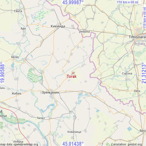
Torak GPS coordinates[2]
45° 30' 33.408" North, 20° 36' 32.4" East
| Map corner | latitude | longitude |
|---|---|---|
| Upper-left | 45.99987°, | 19.90588° |
| Center: | 45.50928°, | 20.609° |
| Lower-right: | 45.01438°, | 21.31213° |
| Map W x H: | 109.6×109.6 km | = 68.1×68.1mi |
| max Lat: | 46.1° ⇑14.5% North |
| Torak: | 45.50928° |
| min Lat: | ⇓85.5% South 42.25846° |
| min Long | Torak | max Long |
| 18.9276° | 20.609° | 22.77556° |
| W 63.7%⇐ | ⇒36.3% E |
Elevation
Elevation of Torak is 78 m = 256 ft, and this is 98.4 m = 323 ft below average elevation for this country.
| Max E: |
1421 m = 4662 ft | 78.9% |
| Avg. | 176.4 m = 579 ft | |
| Torak | 78 m = 256 ft | |
Min E: |
49 m = 161 ft | 21.1% |
See also: Serbia elevation on elevation.city.
Geographical zone
Torak is located in North temperate zone (between Tropic of Cancer and the Arctic Circle). Distance of this North polar circle is 2341 km =1454.6 mi to North.| Distance of | km | miles | from Torak |
|---|---|---|---|
| North Pole | 4946.9 | 3073.9 | to North |
| Arctic Circle | 2341 | 1454.6 | to North |
| Tropic Cancer | 2454.2 | 1525 | to South |
| Equator | 5060.2 | 3144.3 | to South |


Nearby cities:
15 places around Torak: (largest is in red/bold)
• Aleksandrovo
14.3 km =8.9 mi,  354°
354°
• Banatski Dvor
7.7 km =4.8 mi,  277°
277°
• Banatsko Karađorđevo
9.3 km =5.8 mi,  338°
338°
• Jankov Most
13.8 km =8.6 mi,  254°
254°
• Klek
13.9 km =8.6 mi,  226°
226°
• Krajišnik
11.3 km =7 mi,  123°
123°
• Lazarevo
14.4 km =8.9 mi,  201°
201°
• Međa
15.7 km =9.8 mi,  78°
78°
• Novi Itebej
9 km =5.6 mi,  52°
52°
• Ravni Topolovac
6.2 km =3.9 mi,  209°
209°
• Srpski Itebej
10.4 km =6.5 mi, 51°
• Sutjeska
15.6 km =9.7 mi,  154°
154°
• Torda
14.3 km =8.9 mi,  305°
305°
• Čestereg
8.5 km =5.3 mi,  315°
315°
• Žitište
5.4 km =3.4 mi,  239°
239°
Sources, notices
• [Note1] Compared only with cities in Serbia existing in our database
• [Src1] Map data: © OpenStreetMap contributors (CC-BY-SA)
• [Src2] Other city data from geonames.org with taken over terms of usage.
• [Src3] Geographical zone / Annual Mean Temperature by Robert A. Rohde @ Wikipedia
