Zarubino geodata
Zarubino (Primorskiy (Maritime) Kray) is a populated place; located in Russia in Asia/Vladivostok (GMT+10) time zone. With population of 3,438 people, there are 3447 cities with bigger population in this country. Compared to other cities in Russia, 98.7% of cities are located further ↑North; 94.5% of cities are located further ←West and 96.4% of cities have higher elevation than Zarubino. Note1


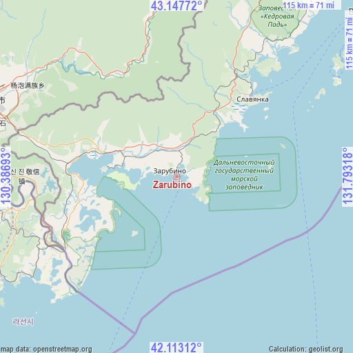
Zarubino GPS coordinates[2]
42° 37' 57.252" North, 131° 5' 24.18" East
| Map corner | latitude | longitude |
|---|---|---|
| Upper-left | 43.14772°, | 130.38693° |
| Center: | 42.63257°, | 131.09005° |
| Lower-right: | 42.11312°, | 131.79318° |
| Map W x H: | 115×115 km | = 71.5×71.5mi |
| max Lat: | 73.50819° ⇑98.7% North |
| Zarubino: | 42.63257° |
| min Lat: | ⇓1.3% South 41.28413° |
| min Long | Zarubino | max Long |
| -179.12198° | 131.09005° | 179.35046° |
| W 94.5%⇐ | ⇒5.5% E |
Elevation
Elevation of Zarubino is 9 m = 30 ft, and this is 193.6 m = 635 ft below average elevation for this country.
| Max E: |
2518 m = 8261 ft | 96.4% |
| Avg. | 202.6 m = 665 ft | |
| Zarubino | 9 m = 30 ft | |
Min E: |
-28 m = -92 ft | 3.6% |
See also: Russia elevation on elevation.city.
Geographical zone
Zarubino is located in North temperate zone (between Tropic of Cancer and the Arctic Circle). Distance of this Northern Tropic circle is 2134.4 km =1326.3 mi to South.| Distance of | km | miles | from Zarubino |
|---|---|---|---|
| North Pole | 5266.8 | 3272.6 | to North |
| Arctic Circle | 2660.9 | 1653.4 | to North |
| Tropic Cancer | 2134.4 | 1326.3 | to South |
| Equator | 4740.3 | 2945.5 | to South |


Nearby cities:
15 places around Zarubino: (largest is in red/bold)
• Andreyevka
4 km =2.5 mi,  70°
70°
• Barabash
71 km =44.1 mi,  27°
27°
• Devyatyy Val
96.6 km =60 mi,  39°
39°
• Dunay
105.3 km =65.4 mi, 74°
• Emar
107.6 km =66.9 mi,  53°
53°
• Khasan
42.8 km =26.6 mi,  237°
237°
• Kraskino
26.7 km =16.6 mi,  288°
288°
• Nezhino
107 km =66.5 mi, 31°
• Popova
63.4 km =39.4 mi, 54°
• Primorskiy
66 km =41 mi, 38°
• Russkiy
76.3 km =47.4 mi,  55°
55°
• Slavyanka
35.4 km =22 mi, 43°
• Tavrichanka
99.4 km =61.8 mi, 39°
• Vladivostok
82.7 km =51.4 mi, 50°
• Zanadvorovka
85.3 km =53 mi, 29°
Sources, notices
• [Note1] Compared only with cities in Russia existing in our database
• [Src1] Map data: © OpenStreetMap contributors (CC-BY-SA)
• [Src2] Other city data from geonames.org with taken over terms of usage.
• [Src3] Geographical zone / Annual Mean Temperature by Robert A. Rohde @ Wikipedia
