Lugovskiy geodata
Lugovskiy (Irkutsk Oblast) is a populated place; located in Russia in Asia/Irkutsk (GMT+8) time zone. With population of 617 people, there are 4869 cities with bigger population in this country. Compared to other cities in Russia, 82.9% of cities are located further ↓South; 91.6% of cities are located further ←West and 87.5% of cities have lower elevation than Lugovskiy. Note1


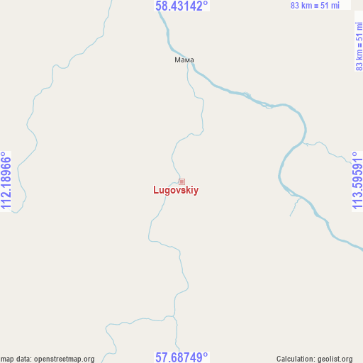
Lugovskiy GPS coordinates[2]
58° 3' 41.004" North, 112° 53' 34.008" East
| Map corner | latitude | longitude |
|---|---|---|
| Upper-left | 58.43142°, | 112.18966° |
| Center: | 58.06139°, | 112.89278° |
| Lower-right: | 57.68749°, | 113.59591° |
| Map W x H: | 82.7×82.7 km | = 51.4×51.4mi |
| max Lat: | 73.50819° ⇑17.1% North |
| Lugovskiy: | 58.06139° |
| min Lat: | ⇓82.9% South 41.28413° |
| min Long | Lugovskiy | max Long |
| -179.12198° | 112.89278° | 179.35046° |
| W 91.6%⇐ | ⇒8.4% E |
Elevation
Elevation of Lugovskiy is 385 m = 1263 ft, and this is 182.4 m = 598 ft above average elevation for this country.
| Max E: |
2518 m = 8261 ft | 12.5% |
| Lugovskiy | 385 m 1263 ft | |
| Avg. | 202.6 m = 665 ft | |
Min E: |
-28 m = -92 ft | 87.5% |
See also: Russia elevation on elevation.city.
Geographical zone
Lugovskiy is located in North temperate zone (between Tropic of Cancer and the Arctic Circle). Distance of this North polar circle is 945.4 km =587.4 mi to North.| Distance of | km | miles | from Lugovskiy |
|---|---|---|---|
| North Pole | 3551.2 | 2206.6 | to North |
| Arctic Circle | 945.4 | 587.4 | to North |
| Tropic Cancer | 3849.9 | 2392.2 | to South |
| Equator | 6455.8 | 4011.4 | to South |


Nearby cities:
15 places around Lugovskiy: (largest is in red/bold)
• Balakhninskiy
81.7 km =50.8 mi,  93°
93°
• Bodaybo
80.2 km =49.8 mi,  106°
106°
• Gorno-Chuyskiy
83.5 km =51.9 mi,  236°
236°
• Kropotkin
150.4 km =93.5 mi,  70°
70°
• Kuanda
273 km =169.6 mi,  135°
135°
• Mama
27.7 km =17.2 mi,  0°
0°
• Mamakan
71 km =44.1 mi, 112°
• Novyy Uoyan
223.5 km =138.9 mi,  198°
198°
• Peleduy
174.5 km =108.4 mi,  357°
357°
• Severomuysk
215.2 km =133.7 mi,  171°
171°
• Sogdiondon
59.6 km =37 mi,  226°
226°
• Taksimo
226.2 km =140.6 mi,  147°
147°
• Vitim
154.8 km =96.2 mi,  353°
353°
• Vitimskiy
28.3 km =17.6 mi,  50°
50°
• Yanchukan
201.4 km =125.1 mi,  181°
181°
Sources, notices
• [Note1] Compared only with cities in Russia existing in our database
• [Src1] Map data: © OpenStreetMap contributors (CC-BY-SA)
• [Src2] Other city data from geonames.org with taken over terms of usage.
• [Src3] Geographical zone / Annual Mean Temperature by Robert A. Rohde @ Wikipedia
