Dzhebariki-Khaya geodata
Dzhebariki-Khaya (Sakha) is a populated place; located in Russia in Asia/Vladivostok (GMT+10) time zone. With population of 2,056 people, there are 4128 cities with bigger population in this country. Compared to other cities in Russia, 95.3% of cities are located further ↓South; 97.2% of cities are located further ←West and 65% of cities have higher elevation than Dzhebariki-Khaya. Note1


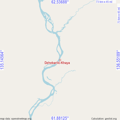
Dzhebariki-Khaya GPS coordinates[2]
62° 12' 39.024" North, 135° 50' 55.536" East
| Map corner | latitude | longitude |
|---|---|---|
| Upper-left | 62.53688°, | 135.14564° |
| Center: | 62.21084°, | 135.84876° |
| Lower-right: | 61.88125°, | 136.55189° |
| Map W x H: | 72.9×72.9 km | = 45.3×45.3mi |
| max Lat: | 73.50819° ⇑4.7% North |
| Dzhebariki-Khaya: | 62.21084° |
| min Lat: | ⇓95.3% South 41.28413° |
| min Long | Dzhebariki-Khay | max Long |
| -179.12198° | 135.84876° | 179.35046° |
| W 97.2%⇐ | ⇒2.8% E |
Elevation
Elevation of Dzhebariki-Khaya is 114 m = 374 ft, and this is 88.6 m = 291 ft below average elevation for this country.
| Max E: |
2518 m = 8261 ft | 65% |
| Avg. | 202.6 m = 665 ft | |
| Dzhebariki-Khaya | 114 m = 374 ft | |
Min E: |
-28 m = -92 ft | 35% |
See also: Russia elevation on elevation.city.
Geographical zone
Dzhebariki-Khaya is located in North temperate zone (between Tropic of Cancer and the Arctic Circle). Distance of this North polar circle is 484 km =300.7 mi to North.| Distance of | km | miles | from Dzhebariki-Khaya |
|---|---|---|---|
| North Pole | 3089.9 | 1920 | to North |
| Arctic Circle | 484 | 300.7 | to North |
| Tropic Cancer | 4311.3 | 2678.9 | to South |
| Equator | 6917.2 | 4298.1 | to South |


Nearby cities:
6 places around Dzhebariki-Khaya: (largest is in red/bold)
• Churapcha
179.2 km =111.3 mi,  262°
262°
• Khandyga
51.3 km =31.9 mi,  343°
343°
• Nezhdaninskoe
168.4 km =104.6 mi,  78°
78°
• Solnechnyy
231 km =143.5 mi,  156°
156°
• Ust-Maya
211.4 km =131.4 mi,  199°
199°
• Ytyk-Kyuyël’
119.5 km =74.3 mi,  278°
278°
Sources, notices
• [Note1] Compared only with cities in Russia existing in our database
• [Src1] Map data: © OpenStreetMap contributors (CC-BY-SA)
• [Src2] Other city data from geonames.org with taken over terms of usage.
• [Src3] Geographical zone / Annual Mean Temperature by Robert A. Rohde @ Wikipedia
