Churapcha geodata
Churapcha (Sakha) is a populated place; located in Russia in Asia/Yakutsk (GMT+9) time zone. With population of 7,280 people, there are 1935 cities with bigger population in this country. Compared to other cities in Russia, 94.9% of cities are located further ↓South; 95.7% of cities are located further ←West and 59.2% of cities have lower elevation than Churapcha. Note1


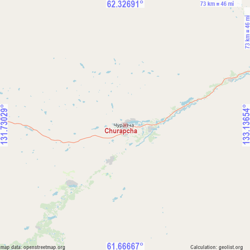
Churapcha GPS coordinates[2]
61° 59' 54.888" North, 132° 26' 0.276" East
| Map corner | latitude | longitude |
|---|---|---|
| Upper-left | 62.32691°, | 131.73029° |
| Center: | 61.99858°, | 132.43341° |
| Lower-right: | 61.66667°, | 133.13654° |
| Map W x H: | 73.4×73.4 km | = 45.6×45.6mi |
| max Lat: | 73.50819° ⇑5.1% North |
| Churapcha: | 61.99858° |
| min Lat: | ⇓94.9% South 41.28413° |
| min Long | Churapcha | max Long |
| -179.12198° | 132.43341° | 179.35046° |
| W 95.7%⇐ | ⇒4.3% E |
Elevation
Elevation of Churapcha is 166 m = 545 ft, and this is 36.6 m = 120 ft below average elevation for this country.
| Max E: |
2518 m = 8261 ft | 40.8% |
| Avg. | 202.6 m = 665 ft | |
| Churapcha | 166 m = 545 ft | |
Min E: |
-28 m = -92 ft | 59.2% |
See also: Russia elevation on elevation.city.
Geographical zone
Churapcha is located in North temperate zone (between Tropic of Cancer and the Arctic Circle). Distance of this North polar circle is 507.6 km =315.4 mi to North.| Distance of | km | miles | from Churapcha |
|---|---|---|---|
| North Pole | 3113.5 | 1934.6 | to North |
| Arctic Circle | 507.6 | 315.4 | to North |
| Tropic Cancer | 4287.7 | 2664.3 | to South |
| Equator | 6893.6 | 4283.5 | to South |


Nearby cities:
15 places around Churapcha: (largest is in red/bold)
• Amga
124.5 km =77.4 mi,  191°
191°
• Borogontsy
99.4 km =61.8 mi,  318°
318°
• Kangalassy
133.9 km =83.2 mi,  286°
286°
• Khandyga
177.4 km =110.2 mi,  65°
65°
• Khatassy
146.8 km =91.2 mi,  265°
265°
• Magan
151.7 km =94.3 mi, 274°
• Markha
140.7 km =87.4 mi,  275°
275°
• Mayya
116.5 km =72.4 mi,  255°
255°
• Namtsy
163.7 km =101.7 mi,  299°
299°
• Nizhniy Bestyakh
131.7 km =81.8 mi, 268°
• Staraya Tabaga
147.9 km =91.9 mi, 262°
• Tabaga
149.1 km =92.6 mi, 263°
• Yakutsk
140.9 km =87.6 mi, 271°
• Ytyk-Kyuyël’
71 km =44.1 mi,  55°
55°
• Zhatay
136.8 km =85 mi, 277°
Sources, notices
• [Note1] Compared only with cities in Russia existing in our database
• [Src1] Map data: © OpenStreetMap contributors (CC-BY-SA)
• [Src2] Other city data from geonames.org with taken over terms of usage.
• [Src3] Geographical zone / Annual Mean Temperature by Robert A. Rohde @ Wikipedia
