Znamenka geodata
Znamenka (Tambov) is a populated place; located in Russia in Europe/Moscow (GMT+3) time zone. With population of 8,915 people, there are 1674 cities with bigger population in this country. Compared to other cities in Russia, 66.8% of cities are located further ↑North; 61.6% of cities are located further →East and 60% of cities have higher elevation than Znamenka. Note1


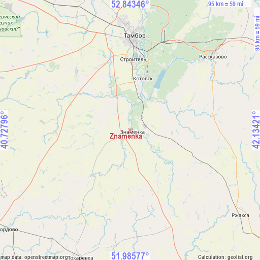
Znamenka GPS coordinates[2]
52° 25' 0.12" North, 41° 25' 51.888" East
| Map corner | latitude | longitude |
|---|---|---|
| Upper-left | 52.84346°, | 40.72796° |
| Center: | 52.4167°, | 41.43108° |
| Lower-right: | 51.98577°, | 42.13421° |
| Map W x H: | 95.4×95.4 km | = 59.3×59.3mi |
| max Lat: | 73.50819° ⇑66.8% North |
| Znamenka: | 52.4167° |
| min Lat: | ⇓33.2% South 41.28413° |
| min Long | Znamenka | max Long |
| -179.12198° | 41.43108° | 179.35046° |
| W 38.4%⇐ | ⇒61.6% E |
Elevation
Elevation of Znamenka is 124 m = 407 ft, and this is 78.6 m = 258 ft below average elevation for this country.
| Max E: |
2518 m = 8261 ft | 60% |
| Avg. | 202.6 m = 665 ft | |
| Znamenka | 124 m = 407 ft | |
Min E: |
-28 m = -92 ft | 40% |
See also: Russia elevation on elevation.city.
Geographical zone
Znamenka is located in North temperate zone (between Tropic of Cancer and the Arctic Circle). Distance of this North polar circle is 1573 km =977.4 mi to North.| Distance of | km | miles | from Znamenka |
|---|---|---|---|
| North Pole | 4178.9 | 2596.6 | to North |
| Arctic Circle | 1573 | 977.4 | to North |
| Tropic Cancer | 3222.3 | 2002.2 | to South |
| Equator | 5828.2 | 3621.5 | to South |


Nearby cities:
15 places around Znamenka: (largest is in red/bold)
• Bokino
24.6 km =15.3 mi,  4°
4°
• Donskoye
40 km =24.9 mi, 4°
• Goreloye
58.1 km =36.1 mi, 4°
• Komsomolets
40.3 km =25 mi,  346°
346°
• Kotovsk
19.5 km =12.1 mi,  14°
14°
• Novaya Lyada
35.8 km =22.2 mi,  23°
23°
• Novopokrovka
49.1 km =30.5 mi,  230°
230°
• Petrovskiy
56.5 km =35.1 mi,  249°
249°
• Platonovka
48 km =29.8 mi,  47°
47°
• Pokrovo-Prigorodnoye
29.7 km =18.5 mi,  358°
358°
• Rasskazovo
40.6 km =25.2 mi, 49°
• Rzhaksa
51.3 km =31.9 mi,  127°
127°
• Satinka
17.5 km =10.9 mi,  103°
103°
• Selezni
45 km =28 mi,  343°
343°
• Tambov
35 km =21.7 mi, 1°
Sources, notices
• [Note1] Compared only with cities in Russia existing in our database
• [Src1] Map data: © OpenStreetMap contributors (CC-BY-SA)
• [Src2] Other city data from geonames.org with taken over terms of usage.
• [Src3] Geographical zone / Annual Mean Temperature by Robert A. Rohde @ Wikipedia
