Kashkhatau geodata
Kashkhatau (Kabardino-Balkariya Republic) is a populated place; located in Russia in Europe/Moscow (GMT+3) time zone. With population of 5,367 people, there are 2483 cities with bigger population in this country. Compared to other cities in Russia, 95.2% of cities are located further ↑North; 54.4% of cities are located further →East and 96% of cities have lower elevation than Kashkhatau. Note1


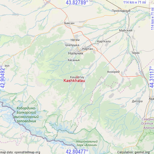
Kashkhatau GPS coordinates[2]
43° 19' 6.528" North, 43° 36' 28.944" East
| Map corner | latitude | longitude |
|---|---|---|
| Upper-left | 43.82789°, | 42.90492° |
| Center: | 43.31848°, | 43.60804° |
| Lower-right: | 42.80477°, | 44.31117° |
| Map W x H: | 113.8×113.8 km | = 70.7×70.7mi |
| max Lat: | 73.50819° ⇑95.2% North |
| Kashkhatau: | 43.31848° |
| min Lat: | ⇓4.8% South 41.28413° |
| min Long | Kashkhatau | max Long |
| -179.12198° | 43.60804° | 179.35046° |
| W 45.6%⇐ | ⇒54.4% E |
Elevation
Elevation of Kashkhatau is 696 m = 2283 ft, and this is 493.4 m = 1619 ft above average elevation for this country.
| Max E: |
2518 m = 8261 ft | 4% |
| Kashkhatau | 696 m 2283 ft | |
| Avg. | 202.6 m = 665 ft | |
Min E: |
-28 m = -92 ft | 96% |
See also: Russia elevation on elevation.city.
Geographical zone
Kashkhatau is located in North temperate zone (between Tropic of Cancer and the Arctic Circle). Distance of this Northern Tropic circle is 2210.6 km =1373.6 mi to South.| Distance of | km | miles | from Kashkhatau |
|---|---|---|---|
| North Pole | 5190.5 | 3225.2 | to North |
| Arctic Circle | 2584.6 | 1606 | to North |
| Tropic Cancer | 2210.6 | 1373.6 | to South |
| Equator | 4816.6 | 2992.9 | to South |


Nearby cities:
15 places around Kashkhatau: (largest is in red/bold)
• Aleksandrovskaya
18.6 km =11.6 mi,  10°
10°
• Aushiger
13.2 km =8.2 mi,  49°
49°
• Babugent
6.4 km =4 mi,  227°
227°
• Belaya Rechka
14.5 km =9 mi,  336°
336°
• Kamenka
25 km =15.5 mi, 342°
• Kenzhe
20.8 km =12.9 mi,  348°
348°
• Nal’chik
20 km =12.4 mi,  2°
2°
• Nartan
22.6 km =14 mi,  19°
19°
• Psygansu
18.7 km =11.6 mi, 53°
• Shalushka
24 km =14.9 mi, 351°
• Staryy Cherek
25.7 km =16 mi, 48°
• Urvan’
22.9 km =14.2 mi,  32°
32°
• Verkhnyaya Balkariya
24.7 km =15.3 mi,  209°
209°
• Vol’nyy Aul
17.9 km =11.1 mi, 5°
• Zhemtala
5.4 km =3.4 mi,  134°
134°
Sources, notices
• [Note1] Compared only with cities in Russia existing in our database
• [Src1] Map data: © OpenStreetMap contributors (CC-BY-SA)
• [Src2] Other city data from geonames.org with taken over terms of usage.
• [Src3] Geographical zone / Annual Mean Temperature by Robert A. Rohde @ Wikipedia
