Sengiley geodata
Sengiley (Ulyanovsk) is a populated place; located in Russia in Europe/Ulyanovsk (GMT+4) time zone. With population of 8,018 people, there are 1794 cities with bigger population in this country. Compared to other cities in Russia, 55.6% of cities are located further ↑North; 60.5% of cities are located further ←West and 82.4% of cities have higher elevation than Sengiley. Note1


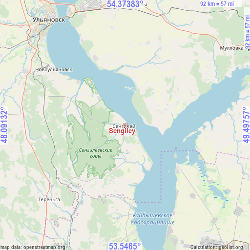
Sengiley GPS coordinates[2]
53° 57' 43.992" North, 48° 47' 39.984" East
| Map corner | latitude | longitude |
|---|---|---|
| Upper-left | 54.37383°, | 48.09132° |
| Center: | 53.96222°, | 48.79444° |
| Lower-right: | 53.5465°, | 49.49757° |
| Map W x H: | 92×92 km | = 57.2×57.2mi |
| max Lat: | 73.50819° ⇑55.6% North |
| Sengiley: | 53.96222° |
| min Lat: | ⇓44.4% South 41.28413° |
| min Long | Sengiley | max Long |
| -179.12198° | 48.79444° | 179.35046° |
| W 60.5%⇐ | ⇒39.5% E |
Elevation
Elevation of Sengiley is 61 m = 200 ft, and this is 141.6 m = 465 ft below average elevation for this country.
| Max E: |
2518 m = 8261 ft | 82.4% |
| Avg. | 202.6 m = 665 ft | |
| Sengiley | 61 m = 200 ft | |
Min E: |
-28 m = -92 ft | 17.6% |
See also: Russia elevation on elevation.city.
Geographical zone
Sengiley is located in North temperate zone (between Tropic of Cancer and the Arctic Circle). Distance of this North polar circle is 1401.1 km =870.6 mi to North.| Distance of | km | miles | from Sengiley |
|---|---|---|---|
| North Pole | 4007 | 2489.8 | to North |
| Arctic Circle | 1401.1 | 870.6 | to North |
| Tropic Cancer | 3394.1 | 2109 | to South |
| Equator | 6000 | 3728.2 | to South |


Nearby cities:
15 places around Sengiley: (largest is in red/bold)
• Cherdakly
44.3 km =27.5 mi,  4°
4°
• Dimitrovgrad
60.6 km =37.7 mi,  62°
62°
• Isheyevka
62.1 km =38.6 mi,  326°
326°
• Khryashchevka
25.7 km =16 mi,  130°
130°
• Krasnyy Gulyay
31 km =19.3 mi,  283°
283°
• Mirnyy
45.1 km =28 mi,  354°
354°
• Mullovka
47.5 km =29.5 mi, 56°
• Novaya Mayna
65.8 km =40.9 mi,  71°
71°
• Novoul’yanovsk
33.7 km =20.9 mi,  308°
308°
• Podstepki
54.5 km =33.9 mi,  155°
155°
• Shigony
64.4 km =40 mi,  186°
186°
• Silikatnyy
30.7 km =19.1 mi, 275°
• Staraya Mayna
71.9 km =44.7 mi,  7°
7°
• Tol’yatti
60.2 km =37.4 mi,  142°
142°
• Ulyanovsk
48.6 km =30.2 mi, 326°
Sources, notices
• [Note1] Compared only with cities in Russia existing in our database
• [Src1] Map data: © OpenStreetMap contributors (CC-BY-SA)
• [Src2] Other city data from geonames.org with taken over terms of usage.
• [Src3] Geographical zone / Annual Mean Temperature by Robert A. Rohde @ Wikipedia
