Dimitrovgrad geodata
Dimitrovgrad (Ulyanovsk) is a populated place; located in Russia in Europe/Ulyanovsk (GMT+4) time zone. With population of 132,226 people, there are 150 cities with bigger population in this country. Compared to other cities in Russia, 53.3% of cities are located further ↑North; 61.5% of cities are located further ←West and 83.4% of cities have higher elevation than Dimitrovgrad. Note1


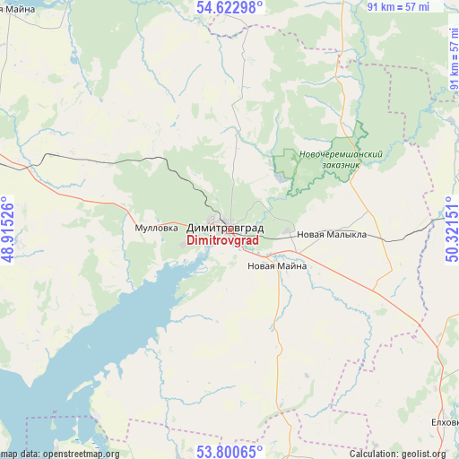
Dimitrovgrad GPS coordinates[2]
54° 12' 49.896" North, 49° 37' 6.168" East
| Map corner | latitude | longitude |
|---|---|---|
| Upper-left | 54.62298°, | 48.91526° |
| Center: | 54.21386°, | 49.61838° |
| Lower-right: | 53.80065°, | 50.32151° |
| Map W x H: | 91.4×91.4 km | = 56.8×56.8mi |
| max Lat: | 73.50819° ⇑53.3% North |
| Dimitrovgrad: | 54.21386° |
| min Lat: | ⇓46.7% South 41.28413° |
| min Long | Dimitrovgrad | max Long |
| -179.12198° | 49.61838° | 179.35046° |
| W 61.5%⇐ | ⇒38.5% E |
Elevation
Elevation of Dimitrovgrad is 56 m = 184 ft, and this is 146.6 m = 481 ft below average elevation for this country.
| Max E: |
2518 m = 8261 ft | 83.4% |
| Avg. | 202.6 m = 665 ft | |
| Dimitrovgrad | 56 m = 184 ft | |
Min E: |
-28 m = -92 ft | 16.6% |
See also: Dimitrovgrad elevation on elevation.city.
Geographical zone
Dimitrovgrad is located in North temperate zone (between Tropic of Cancer and the Arctic Circle). Distance of this North polar circle is 1373.2 km =853.3 mi to North.| Distance of | km | miles | from Dimitrovgrad |
|---|---|---|---|
| North Pole | 3979 | 2472.4 | to North |
| Arctic Circle | 1373.2 | 853.3 | to North |
| Tropic Cancer | 3422.1 | 2126.4 | to South |
| Equator | 6028 | 3745.6 | to South |


Nearby cities:
15 places around Dimitrovgrad: (largest is in red/bold)
• Bazarnyye Mataki
77.2 km =48 mi,  15°
15°
• Cherdakly
52.7 km =32.7 mi,  287°
287°
• Khryashchevka
56.4 km =35 mi,  217°
217°
• Koshki
55.2 km =34.3 mi,  90°
90°
• Mirnyy
60.1 km =37.3 mi, 286°
• Mullovka
14.3 km =8.9 mi,  263°
263°
• Novaya Malykla
21.6 km =13.4 mi, 94°
• Novaya Mayna
11.1 km =6.9 mi,  129°
129°
• Novocheremshansk
39 km =24.2 mi,  65°
65°
• Novyy Buyan
65 km =40.4 mi,  154°
154°
• Povolzhskiy
70.5 km =43.8 mi,  172°
172°
• Sengiley
60.6 km =37.7 mi,  242°
242°
• Staraya Mayna
62.2 km =38.6 mi,  314°
314°
• Tol’yatti
78.1 km =48.5 mi,  193°
193°
• Yelkhovka
58.1 km =36.1 mi, 131°
Sources, notices
• [Note1] Compared only with cities in Russia existing in our database
• [Src1] Map data: © OpenStreetMap contributors (CC-BY-SA)
• [Src2] Other city data from geonames.org with taken over terms of usage.
• [Src3] Geographical zone / Annual Mean Temperature by Robert A. Rohde @ Wikipedia
