Murashi geodata
Murashi (Kirov) is a populated place; located in Russia in Europe/Kirov (GMT+3) time zone. With population of 7,190 people, there are 1956 cities with bigger population in this country. Compared to other cities in Russia, 87.5% of cities are located further ↓South; 60.7% of cities are located further ←West and 75% of cities have lower elevation than Murashi. Note1


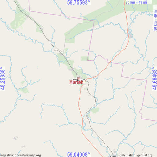
Murashi GPS coordinates[2]
59° 23' 59.64" North, 48° 57' 41.4" East
| Map corner | latitude | longitude |
|---|---|---|
| Upper-left | 59.75593°, | 48.25838° |
| Center: | 59.3999°, | 48.9615° |
| Lower-right: | 59.04008°, | 49.66463° |
| Map W x H: | 79.6×79.6 km | = 49.5×49.5mi |
| max Lat: | 73.50819° ⇑12.5% North |
| Murashi: | 59.3999° |
| min Lat: | ⇓87.5% South 41.28413° |
| min Long | Murashi | max Long |
| -179.12198° | 48.9615° | 179.35046° |
| W 60.7%⇐ | ⇒39.3% E |
Elevation
Elevation of Murashi is 217 m = 712 ft, and this is 14.4 m = 47 ft above average elevation for this country.
| Max E: |
2518 m = 8261 ft | 25% |
| Murashi | 217 m 712 ft | |
| Avg. | 202.6 m = 665 ft | |
Min E: |
-28 m = -92 ft | 75% |
See also: Russia elevation on elevation.city.
Geographical zone
Murashi is located in North temperate zone (between Tropic of Cancer and the Arctic Circle). Distance of this North polar circle is 796.5 km =494.9 mi to North.| Distance of | km | miles | from Murashi |
|---|---|---|---|
| North Pole | 3402.4 | 2114.2 | to North |
| Arctic Circle | 796.5 | 494.9 | to North |
| Tropic Cancer | 3998.7 | 2484.7 | to South |
| Equator | 6604.6 | 4103.9 | to South |


Nearby cities:
15 places around Murashi: (largest is in red/bold)
• Bystritsa
98 km =60.9 mi,  171°
171°
• Darovskoy
90.6 km =56.3 mi,  219°
219°
• Kirov
97.9 km =60.8 mi,  155°
155°
• Letka
34.3 km =21.3 mi,  49°
49°
• Lyangasovo
102 km =63.4 mi, 164°
• Maromitsa
74.6 km =46.4 mi,  314°
314°
• Murygino
78.8 km =49 mi, 158°
• Oparino
63.2 km =39.3 mi,  322°
322°
• Orlov
95.8 km =59.5 mi,  182°
182°
• Pasegovo
104.3 km =64.8 mi, 162°
• Raduzhnyy
40 km =24.9 mi,  76°
76°
• Slobodskoy
101.7 km =63.2 mi,  136°
136°
• Stulovo
101.2 km =62.9 mi, 138°
• Torfyanoy
101.9 km =63.3 mi, 172°
• Vakhrushi
100.2 km =62.3 mi, 142°
Sources, notices
• [Note1] Compared only with cities in Russia existing in our database
• [Src1] Map data: © OpenStreetMap contributors (CC-BY-SA)
• [Src2] Other city data from geonames.org with taken over terms of usage.
• [Src3] Geographical zone / Annual Mean Temperature by Robert A. Rohde @ Wikipedia
