Letka geodata
Letka (Komi) is a populated place; located in Russia in Europe/Moscow (GMT+3) time zone. With population of 2,984 people, there are 3786 cities with bigger population in this country. Compared to other cities in Russia, 88.2% of cities are located further ↓South; 61.3% of cities are located further ←West and 53.9% of cities have lower elevation than Letka. Note1


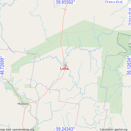
Letka GPS coordinates[2]
59° 36' 3.996" North, 49° 25' 23.556" East
| Map corner | latitude | longitude |
|---|---|---|
| Upper-left | 59.95502°, | 48.72009° |
| Center: | 59.60111°, | 49.42321° |
| Lower-right: | 59.24343°, | 50.12634° |
| Map W x H: | 79.1×79.1 km | = 49.2×49.2mi |
| max Lat: | 73.50819° ⇑11.8% North |
| Letka: | 59.60111° |
| min Lat: | ⇓88.2% South 41.28413° |
| min Long | Letka | max Long |
| -179.12198° | 49.42321° | 179.35046° |
| W 61.3%⇐ | ⇒38.7% E |
Elevation
Elevation of Letka is 154 m = 505 ft, and this is 48.6 m = 159 ft below average elevation for this country.
| Max E: |
2518 m = 8261 ft | 46.1% |
| Avg. | 202.6 m = 665 ft | |
| Letka | 154 m = 505 ft | |
Min E: |
-28 m = -92 ft | 53.9% |
See also: Russia elevation on elevation.city.
Geographical zone
Letka is located in North temperate zone (between Tropic of Cancer and the Arctic Circle). Distance of this North polar circle is 774.2 km =481.1 mi to North.| Distance of | km | miles | from Letka |
|---|---|---|---|
| North Pole | 3380 | 2100.2 | to North |
| Arctic Circle | 774.2 | 481.1 | to North |
| Tropic Cancer | 4021.1 | 2498.6 | to South |
| Equator | 6627 | 4117.8 | to South |


Nearby cities:
15 places around Letka: (largest is in red/bold)
• Belaya Kholunitsa
117.4 km =72.9 mi,  136°
136°
• Bystritsa
119.9 km =74.5 mi,  185°
185°
• Dubrovka
106.4 km =66.1 mi,  112°
112°
• Kirov
112.5 km =69.9 mi,  173°
173°
• Lyangasovo
120.5 km =74.9 mi,  179°
179°
• Maromitsa
84.5 km =52.5 mi,  290°
290°
• Murashi
34.3 km =21.3 mi,  229°
229°
• Murygino
96 km =59.7 mi, 178°
• Nagorsk
84.4 km =52.4 mi, 111°
• Oparino
70 km =43.5 mi, 293°
• Pinyug
116.4 km =72.3 mi,  308°
308°
• Raduzhnyy
18.3 km =11.4 mi, 135°
• Slobodskoy
105.7 km =65.7 mi,  156°
156°
• Stulovo
106 km =65.9 mi, 157°
• Vakhrushi
107.5 km =66.8 mi, 161°
Sources, notices
• [Note1] Compared only with cities in Russia existing in our database
• [Src1] Map data: © OpenStreetMap contributors (CC-BY-SA)
• [Src2] Other city data from geonames.org with taken over terms of usage.
• [Src3] Geographical zone / Annual Mean Temperature by Robert A. Rohde @ Wikipedia
