Komsomol’sk geodata
Komsomol’sk (Ivanovo) is a populated place; located in Russia in Europe/Moscow (GMT+3) time zone. With population of 8,975 people, there are 1656 cities with bigger population in this country. Compared to other cities in Russia, 77.5% of cities are located further ↓South; 65.7% of cities are located further →East and 53.1% of cities have lower elevation than Komsomol’sk. Note1


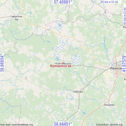
Komsomol’sk GPS coordinates[2]
57° 1' 44.868" North, 40° 22' 21.576" East
| Map corner | latitude | longitude |
|---|---|---|
| Upper-left | 57.40981°, | 39.66954° |
| Center: | 57.02913°, | 40.37266° |
| Lower-right: | 56.64451°, | 41.07579° |
| Map W x H: | 85.1×85.1 km | = 52.9×52.9mi |
| max Lat: | 73.50819° ⇑22.5% North |
| Komsomol’sk: | 57.02913° |
| min Lat: | ⇓77.5% South 41.28413° |
| min Long | Komsomol’sk | max Long |
| -179.12198° | 40.37266° | 179.35046° |
| W 34.3%⇐ | ⇒65.7% E |
Elevation
Elevation of Komsomol’sk is 152 m = 499 ft, and this is 50.6 m = 166 ft below average elevation for this country.
| Max E: |
2518 m = 8261 ft | 46.9% |
| Avg. | 202.6 m = 665 ft | |
| Komsomol’sk | 152 m = 499 ft | |
Min E: |
-28 m = -92 ft | 53.1% |
See also: Russia elevation on elevation.city.
Geographical zone
Komsomol’sk is located in North temperate zone (between Tropic of Cancer and the Arctic Circle). Distance of this North polar circle is 1060.1 km =658.7 mi to North.| Distance of | km | miles | from Komsomol’sk |
|---|---|---|---|
| North Pole | 3666 | 2277.9 | to North |
| Arctic Circle | 1060.1 | 658.7 | to North |
| Tropic Cancer | 3735.1 | 2320.9 | to South |
| Equator | 6341 | 3940.1 | to South |


Nearby cities:
15 places around Komsomol’sk: (largest is in red/bold)
• Bogorodskoye
38.8 km =24.1 mi,  87°
87°
• Burmakino
43.9 km =27.3 mi,  349°
349°
• Dubki
31 km =19.3 mi, 346°
• Dulyapino
36.8 km =22.9 mi,  46°
46°
• Gavrilov-Yam
43.6 km =27.1 mi,  314°
314°
• Il’inskoye-Khovanskoye
37.1 km =23.1 mi,  260°
260°
• Ivanovo
36.4 km =22.6 mi,  95°
95°
• Lezhnevo
42.3 km =26.3 mi,  131°
131°
• Markovo
7.5 km =4.7 mi, 99°
• Nerl’
40.7 km =25.3 mi,  178°
178°
• Novo-Talitsy
29.6 km =18.4 mi, 95°
• Novoye Leushino
26.1 km =16.2 mi,  160°
160°
• Petrovskiy
43.2 km =26.8 mi, 184°
• Pistsovo
19.2 km =11.9 mi,  29°
29°
• Teykovo
21.5 km =13.4 mi,  152°
152°
Sources, notices
• [Note1] Compared only with cities in Russia existing in our database
• [Src1] Map data: © OpenStreetMap contributors (CC-BY-SA)
• [Src2] Other city data from geonames.org with taken over terms of usage.
• [Src3] Geographical zone / Annual Mean Temperature by Robert A. Rohde @ Wikipedia
