Digora geodata
Digora (North Ossetia) is a populated place; located in Russia in Europe/Moscow (GMT+3) time zone. With population of 11,999 people, there are 1274 cities with bigger population in this country. Compared to other cities in Russia, 96.7% of cities are located further ↑North; 52.4% of cities are located further →East and 90% of cities have lower elevation than Digora. Note1


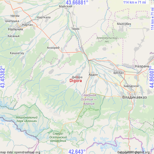
Digora GPS coordinates[2]
43° 9' 29.016" North, 44° 9' 24.984" East
| Map corner | latitude | longitude |
|---|---|---|
| Upper-left | 43.66881°, | 43.45382° |
| Center: | 43.15806°, | 44.15694° |
| Lower-right: | 42.643°, | 44.86007° |
| Map W x H: | 114.1×114.1 km | = 70.9×70.9mi |
| max Lat: | 73.50819° ⇑96.7% North |
| Digora: | 43.15806° |
| min Lat: | ⇓3.3% South 41.28413° |
| min Long | Digora | max Long |
| -179.12198° | 44.15694° | 179.35046° |
| W 47.6%⇐ | ⇒52.4% E |
Elevation
Elevation of Digora is 451 m = 1480 ft, and this is 248.4 m = 815 ft above average elevation for this country.
| Max E: |
2518 m = 8261 ft | 10% |
| Digora | 451 m 1480 ft | |
| Avg. | 202.6 m = 665 ft | |
Min E: |
-28 m = -92 ft | 90% |
See also: Russia elevation on elevation.city.
Geographical zone
Digora is located in North temperate zone (between Tropic of Cancer and the Arctic Circle). Distance of this Northern Tropic circle is 2192.8 km =1362.5 mi to South.| Distance of | km | miles | from Digora |
|---|---|---|---|
| North Pole | 5208.3 | 3236.3 | to North |
| Arctic Circle | 2602.4 | 1617.1 | to North |
| Tropic Cancer | 2192.8 | 1362.5 | to South |
| Equator | 4798.7 | 2981.8 | to South |


Nearby cities:
15 places around Digora: (largest is in red/bold)
• Alagir
13.9 km =8.6 mi,  157°
157°
• Ardon
11.6 km =7.2 mi,  79°
79°
• Argudan
35.2 km =21.9 mi,  326°
326°
• Arkhonskaya
29.3 km =18.2 mi,  100°
100°
• Beslan
31.5 km =19.6 mi, 83°
• Chikola
19.5 km =12.1 mi,  280°
280°
• Deyskoye
35.3 km =21.9 mi,  0°
0°
• Gizel’
36.1 km =22.4 mi,  111°
111°
• Kardzhin
16.8 km =10.4 mi,  40°
40°
• Khumalag
27.4 km =17 mi,  70°
70°
• Mizur
34.7 km =21.6 mi,  192°
192°
• Planovskoye
26.9 km =16.7 mi,  6°
6°
• Staryy Urukh
23.2 km =14.4 mi, 331°
• Urukh
18.4 km =11.4 mi,  324°
324°
• Zmeyskaya
19.8 km =12.3 mi, 0°
Sources, notices
• [Note1] Compared only with cities in Russia existing in our database
• [Src1] Map data: © OpenStreetMap contributors (CC-BY-SA)
• [Src2] Other city data from geonames.org with taken over terms of usage.
• [Src3] Geographical zone / Annual Mean Temperature by Robert A. Rohde @ Wikipedia
