Planovskoye geodata
Planovskoye (Kabardino-Balkariya Republic) is a populated place; located in Russia in Europe/Moscow (GMT+3) time zone. With population of 3,482 people, there are 3413 cities with bigger population in this country. Compared to other cities in Russia, 94.6% of cities are located further ↑North; 52.3% of cities are located further →East and 83.4% of cities have lower elevation than Planovskoye. Note1


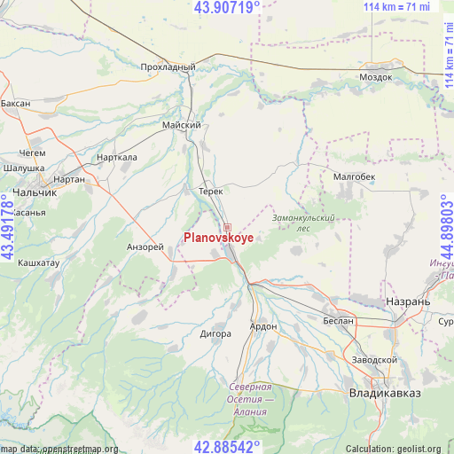
Planovskoye GPS coordinates[2]
43° 23' 54.456" North, 44° 11' 41.64" East
| Map corner | latitude | longitude |
|---|---|---|
| Upper-left | 43.90719°, | 43.49178° |
| Center: | 43.39846°, | 44.1949° |
| Lower-right: | 42.88542°, | 44.89803° |
| Map W x H: | 113.6×113.6 km | = 70.6×70.6mi |
| max Lat: | 73.50819° ⇑94.6% North |
| Planovskoye: | 43.39846° |
| min Lat: | ⇓5.4% South 41.28413° |
| min Long | Planovskoye | max Long |
| -179.12198° | 44.1949° | 179.35046° |
| W 47.7%⇐ | ⇒52.3% E |
Elevation
Elevation of Planovskoye is 292 m = 958 ft, and this is 89.4 m = 293 ft above average elevation for this country.
| Max E: |
2518 m = 8261 ft | 16.6% |
| Planovskoye | 292 m 958 ft | |
| Avg. | 202.6 m = 665 ft | |
Min E: |
-28 m = -92 ft | 83.4% |
See also: Russia elevation on elevation.city.
Geographical zone
Planovskoye is located in North temperate zone (between Tropic of Cancer and the Arctic Circle). Distance of this Northern Tropic circle is 2219.5 km =1379.1 mi to South.| Distance of | km | miles | from Planovskoye |
|---|---|---|---|
| North Pole | 5181.6 | 3219.7 | to North |
| Arctic Circle | 2575.7 | 1600.5 | to North |
| Tropic Cancer | 2219.5 | 1379.1 | to South |
| Equator | 4825.5 | 2998.4 | to South |


Nearby cities:
15 places around Planovskoye: (largest is in red/bold)
• Ardon
26 km =16.2 mi,  161°
161°
• Argudan
22.7 km =14.1 mi,  276°
276°
• Deyskoye
9 km =5.6 mi,  342°
342°
• Digora
26.9 km =16.7 mi,  186°
186°
• Kakhun
30.3 km =18.8 mi,  302°
302°
• Kardzhin
15.9 km =9.9 mi,  150°
150°
• Khumalag
28.7 km =17.8 mi,  127°
127°
• Kotlyarevskaya
22.2 km =13.8 mi,  331°
331°
• Mayskiy
29.8 km =18.5 mi, 334°
• Nizhniy Cherek
26 km =16.2 mi, 299°
• Staryy Cherek
29.2 km =18.1 mi,  286°
286°
• Staryy Urukh
15.6 km =9.7 mi,  245°
245°
• Terek
10.6 km =6.6 mi, 333°
• Urukh
17.9 km =11.1 mi,  229°
229°
• Zmeyskaya
7.6 km =4.7 mi,  203°
203°
Sources, notices
• [Note1] Compared only with cities in Russia existing in our database
• [Src1] Map data: © OpenStreetMap contributors (CC-BY-SA)
• [Src2] Other city data from geonames.org with taken over terms of usage.
• [Src3] Geographical zone / Annual Mean Temperature by Robert A. Rohde @ Wikipedia
