Turaif geodata
Turaif (Northern Borders) is a populated place; located in Saudi Arabia in Asia/Riyadh (GMT+3) time zone. With population of 40,819 people, there are 42 cities with bigger population in this country. Compared to other cities in Saudi Arabia, 100% of cities are located further ↓South; 91.8% of cities are located further →East and 81.4% of cities have lower elevation than Turaif. Note1


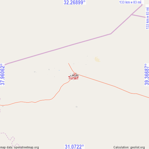
Turaif GPS coordinates[2]
31° 40' 21.072" North, 38° 39' 49.464" East
| Map corner | latitude | longitude |
|---|---|---|
| Upper-left | 32.26899°, | 37.96062° |
| Center: | 31.67252°, | 38.66374° |
| Lower-right: | 31.0722°, | 39.36687° |
| Map W x H: | 133.1×133.1 km | = 82.7×82.7mi |
| max Lat: | 31.67252° ⇑0% North |
| Turaif: | 31.67252° |
| min Lat: | ⇓100% South 16.57946° |
| min Long | Turaif | max Long |
| 35.69014° | 38.66374° | 54.09599° |
| W 8.2%⇐ | ⇒91.8% E |
Elevation
Elevation of Turaif is 827 m = 2713 ft, and this is 305.6 m = 1003 ft above average elevation for this country.
| Max E: |
2385 m = 7825 ft | 18.6% |
| Turaif | 827 m 2713 ft | |
| Avg. | 521.4 m = 1711 ft | |
Min E: |
3 m = 10 ft | 81.4% |
See also: Turaif elevation on elevation.city.
Geographical zone
Turaif is located in North temperate zone (between Tropic of Cancer and the Arctic Circle). Distance of this Northern Tropic circle is 915.7 km =569 mi to South.| Distance of | km | miles | from Turaif |
|---|---|---|---|
| North Pole | 6485.4 | 4029.8 | to North |
| Arctic Circle | 3879.5 | 2410.6 | to North |
| Tropic Cancer | 915.7 | 569 | to South |
| Equator | 3521.7 | 2188.3 | to South |


Nearby cities:
6 places around Turaif: (largest is in red/bold)
• Arar
238.5 km =148.2 mi,  108°
108°
• Qurayyat
130.8 km =81.3 mi,  253°
253°
• Sakakah
239.9 km =149.1 mi,  142°
142°
• Tabuk
415.9 km =258.4 mi,  208°
208°
• Şuwayr
238.8 km =148.4 mi, 136°
• Ţubarjal
137.2 km =85.3 mi,  198°
198°
Sources, notices
• [Note1] Compared only with cities in Saudi Arabia existing in our database
• [Src1] Map data: © OpenStreetMap contributors (CC-BY-SA)
• [Src2] Other city data from geonames.org with taken over terms of usage.
• [Src3] Geographical zone / Annual Mean Temperature by Robert A. Rohde @ Wikipedia
