Shaybah geodata
Shaybah (Eastern Province) is a populated place; located in Saudi Arabia in Asia/Riyadh (GMT+3) time zone. With population of 1,000 people, there are 94 cities with bigger population in this country. Compared to other cities in Saudi Arabia, 72.2% of cities are located further ↑North; 100% of cities are located further ←West and 56.7% of cities have higher elevation than Shaybah. Note1


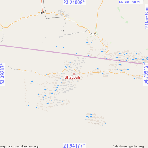
Shaybah GPS coordinates[2]
22° 35' 32.856" North, 54° 5' 45.564" East
| Map corner | latitude | longitude |
|---|---|---|
| Upper-left | 23.24009°, | 53.39287° |
| Center: | 22.59246°, | 54.09599° |
| Lower-right: | 21.94177°, | 54.79912° |
| Map W x H: | 144.4×144.4 km | = 89.7×89.7mi |
| max Lat: | 31.67252° ⇑72.2% North |
| Shaybah: | 22.59246° |
| min Lat: | ⇓27.8% South 16.57946° |
| min Long | Shaybah | max Long |
| 35.69014° | 54.09599° | 54.09599° |
| W 100%⇐ | ⇒0% E |
Elevation
Elevation of Shaybah is 153 m = 502 ft, and this is 368.4 m = 1209 ft below average elevation for this country.
| Max E: |
2385 m = 7825 ft | 56.7% |
| Avg. | 521.4 m = 1711 ft | |
| Shaybah | 153 m = 502 ft | |
Min E: |
3 m = 10 ft | 43.3% |
See also: Saudi Arabia elevation on elevation.city.
Geographical zone
Shaybah is located in North Torrid zone (between Equator and Tropic of Cancer). Distance of this Northern Tropic circle is 93.9 km =58.3 mi to North.| Distance of | km | miles | from Shaybah |
|---|---|---|---|
| North Pole | 7495 | 4657.2 | to North |
| Arctic Circle | 4889.1 | 3037.9 | to North |
| Tropic Cancer | 93.9 | 58.3 | to North |
| Equator | 2512 | 1560.9 | to South |


Nearby cities:
15 places around Shaybah: (largest is in red/bold)
• Abqaiq
582.5 km =361.9 mi,  309°
309°
• Al Baţţālīyah
552.4 km =343.2 mi,  304°
304°
• Al Hufūf
552 km =343 mi, 303°
• Al Jafr
541.6 km =336.5 mi, 304°
• Al Jubayl
548.9 km =341.1 mi, 304°
• Al Markaz
542 km =336.8 mi, 305°
• Al Mubarraz
554.4 km =344.5 mi, 304°
• Al Munayzilah
546.5 km =339.6 mi, 304°
• Al Muţayrifī
561.5 km =348.9 mi, 304°
• Al Qurayn
558.3 km =346.9 mi, 305°
• Al Qārah
548.6 km =340.9 mi, 304°
• Aţ Ţaraf
540.1 km =335.6 mi, 304°
• Dhahran
575.6 km =357.7 mi,  315°
315°
• Julayjilah
559.3 km =347.5 mi, 305°
• Khobar
568.2 km =353.1 mi, 316°
Sources, notices
• [Note1] Compared only with cities in Saudi Arabia existing in our database
• [Src1] Map data: © OpenStreetMap contributors (CC-BY-SA)
• [Src2] Other city data from geonames.org with taken over terms of usage.
• [Src3] Geographical zone / Annual Mean Temperature by Robert A. Rohde @ Wikipedia
