Lövånger geodata
Lövånger (Västerbotten) is a populated place; located in Sweden in Europe/Stockholm (GMT+2) time zone. With population of 810 people, there are 957 cities with bigger population in this country. Compared to other cities in Sweden, 94% of cities are located further ↓South; 97.5% of cities are located further ←West and 93.9% of cities have higher elevation than Lövånger. Note1


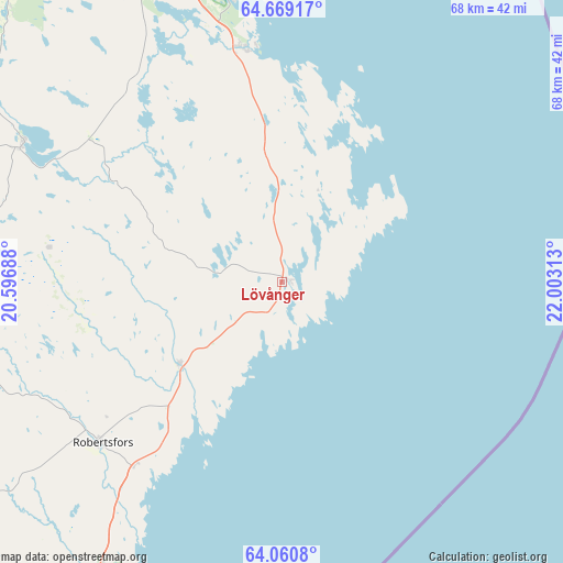
Lövånger GPS coordinates[2]
64° 22' 0.012" North, 21° 18' 0" East
| Map corner | latitude | longitude |
|---|---|---|
| Upper-left | 64.66917°, | 20.59688° |
| Center: | 64.36667°, | 21.3° |
| Lower-right: | 64.0608°, | 22.00313° |
| Map W x H: | 67.6×67.6 km | = 42×42mi |
| max Lat: | 67.85572° ⇑6% North |
| Lövånger: | 64.36667° |
| min Lat: | ⇓94% South 55.34337° |
| min Long | Lövånger | max Long |
| 11.1712° | 21.3° | 24.13676° |
| W 97.5%⇐ | ⇒2.5% E |
Elevation
Elevation of Lövånger is 6 m = 20 ft, and this is 76.6 m = 251 ft below average elevation for this country.
| Max E: |
663 m = 2175 ft | 93.9% |
| Avg. | 82.6 m = 271 ft | |
| Lövånger | 6 m = 20 ft | |
Min E: |
-1 m = -3 ft | 6.1% |
See also: Sweden elevation on elevation.city.
Geographical zone
Lövånger is located in North temperate zone (between Tropic of Cancer and the Arctic Circle). Distance of this North polar circle is 244.3 km =151.8 mi to North.| Distance of | km | miles | from Lövånger |
|---|---|---|---|
| North Pole | 2850.2 | 1771 | to North |
| Arctic Circle | 244.3 | 151.8 | to North |
| Tropic Cancer | 4551 | 2827.9 | to South |
| Equator | 7156.9 | 4447.1 | to South |


Nearby cities:
15 places around Lövånger: (largest is in red/bold)
• Bureå
28.2 km =17.5 mi,  350°
350°
• Burträsk
35.4 km =22 mi,  298°
298°
• Bygdeå
40.3 km =25 mi,  212°
212°
• Ersmark
56.9 km =35.4 mi,  340°
340°
• Forsbacka
58.6 km =36.4 mi,  319°
319°
• Kåge
54.3 km =33.7 mi, 343°
• Medle
49.4 km =30.7 mi,  326°
326°
• Nyland
56.1 km =34.9 mi, 333°
• Ostvik
58.5 km =36.4 mi, 349°
• Robertsfors
29.1 km =18.1 mi,  228°
228°
• Skelleftehamn
35.4 km =22 mi, 354°
• Skellefteå
45.8 km =28.5 mi, 338°
• Ursviken
39 km =24.2 mi, 350°
• Viken
44 km =27.3 mi, 335°
• Ånäset
16.4 km =10.2 mi, 227°
Sources, notices
• [Note1] Compared only with cities in Sweden existing in our database
• [Src1] Map data: © OpenStreetMap contributors (CC-BY-SA)
• [Src2] Other city data from geonames.org with taken over terms of usage.
• [Src3] Geographical zone / Annual Mean Temperature by Robert A. Rohde @ Wikipedia
