Podgorje geodata
Podgorje (Kamnik) is a populated place; located in Slovenia in Europe/Ljubljana (GMT+2) time zone. With population of 993 people, there are 217 cities with bigger population in this country. Compared to other cities in Slovenia, 56.7% of cities are located further ↑North; 63.5% of cities are located further →East and 76% of cities have lower elevation than Podgorje. Note1


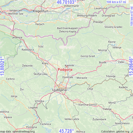
Podgorje GPS coordinates[2]
46° 13' 0.012" North, 14° 34' 59.988" East
| Map corner | latitude | longitude |
|---|---|---|
| Upper-left | 46.70103°, | 13.88021° |
| Center: | 46.21667°, | 14.58333° |
| Lower-right: | 45.728°, | 15.28646° |
| Map W x H: | 108.2×108.2 km | = 67.2×67.2mi |
| max Lat: | 46.83694° ⇑56.7% North |
| Podgorje: | 46.21667° |
| min Lat: | ⇓43.3% South 45.47667° |
| min Long | Podgorje | max Long |
| 13.52639° | 14.58333° | 16.4975° |
| W 36.5%⇐ | ⇒63.5% E |
Elevation
Elevation of Podgorje is 409 m = 1342 ft, and this is 83.4 m = 274 ft above average elevation for this country.
| Max E: |
1551 m = 5089 ft | 24% |
| Podgorje | 409 m 1342 ft | |
| Avg. | 325.6 m = 1068 ft | |
Min E: |
2 m = 7 ft | 76% |
See also: Slovenia elevation on elevation.city.
Geographical zone
Podgorje is located in North temperate zone (between Tropic of Cancer and the Arctic Circle). Distance of this North polar circle is 2262.4 km =1405.8 mi to North.| Distance of | km | miles | from Podgorje |
|---|---|---|---|
| North Pole | 4868.2 | 3025 | to North |
| Arctic Circle | 2262.4 | 1405.8 | to North |
| Tropic Cancer | 2532.9 | 1573.9 | to South |
| Equator | 5138.8 | 3193.1 | to South |


Nearby cities:
15 places around Podgorje: (largest is in red/bold)
• Godič
4.9 km =3 mi,  24°
24°
• Homec
3.9 km =2.4 mi,  160°
160°
• Kamnik
2.4 km =1.5 mi,  65°
65°
• Komenda
3.7 km =2.3 mi,  249°
249°
• Mekinje
3.2 km =2 mi,  54°
54°
• Mengeš
5.6 km =3.5 mi,  186°
186°
• Moste
3.4 km =2.1 mi,  225°
225°
• Nožice
3.7 km =2.3 mi,  165°
165°
• Preserje pri Radomljah
5.4 km =3.4 mi, 168°
• Radomlje
5.3 km =3.3 mi, 155°
• Srednje Jarše
6.7 km =4.2 mi, 171°
• Suhadole
4.5 km =2.8 mi,  214°
214°
• Vir
7.3 km =4.5 mi, 165°
• Vrhpolje pri Kamniku
4.3 km =2.7 mi,  64°
64°
• Šmarca
2.8 km =1.7 mi, 158°
Sources, notices
• [Note1] Compared only with cities in Slovenia existing in our database
• [Src1] Map data: © OpenStreetMap contributors (CC-BY-SA)
• [Src2] Other city data from geonames.org with taken over terms of usage.
• [Src3] Geographical zone / Annual Mean Temperature by Robert A. Rohde @ Wikipedia
