Kobilje geodata
Kobilje is a seat of a first-order administrative division; located in Slovenia in Europe/Ljubljana (GMT+2) time zone. With population of 618 people, there are 426 cities with bigger population in this country. Compared to other cities in Slovenia, 97.8% of cities are located further ↓South; 99% of cities are located further ←West and 84.2% of cities have higher elevation than Kobilje. Note1


Kobilje GPS coordinates[2]
46° 41' 4.992" North, 16° 23' 52.008" East
| Map corner | latitude | longitude |
|---|---|---|
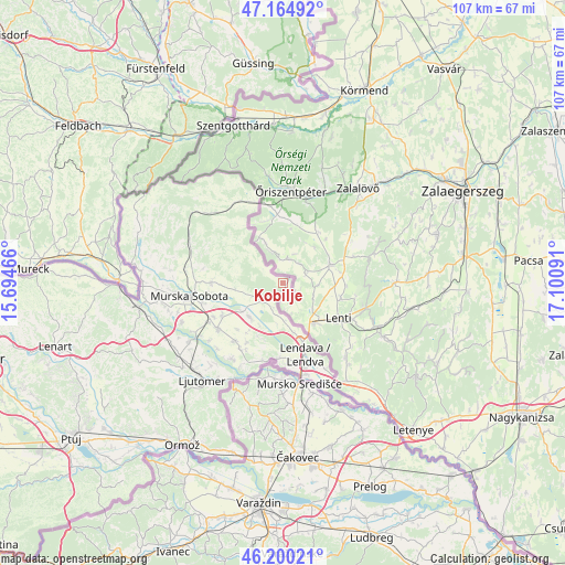
| Upper-left | 47.16492°, | 15.69466° |
| Center: | 46.68472°, | 16.39778° |
| Lower-right: | 46.20021°, | 17.10091° |
| Map W x H: | 107.3×107.3 km | = 66.7×66.7mi |
| max Lat: | 46.83694° ⇑2.2% North |
| Kobilje: | 46.68472° |
| min Lat: | ⇓97.8% South 45.47667° |
| min Long | Kobilje | max Long |
| 13.52639° | 16.39778° | 16.4975° |
| W 99%⇐ | ⇒1% E |
Elevation
Elevation of Kobilje is 183 m = 600 ft, and this is 142.6 m = 468 ft below average elevation for this country.
| Max E: |
1551 m = 5089 ft | 84.2% |
| Avg. | 325.6 m = 1068 ft | |
| Kobilje | 183 m = 600 ft | |
Min E: |
2 m = 7 ft | 15.8% |
See also: Slovenia elevation on elevation.city.
Geographical zone
Kobilje is located in North temperate zone (between Tropic of Cancer and the Arctic Circle). Distance of this North polar circle is 2210.3 km =1373.4 mi to North.| Distance of | km | miles | from Kobilje |
|---|---|---|---|
| North Pole | 4816.2 | 2992.6 | to North |
| Arctic Circle | 2210.3 | 1373.4 | to North |
| Tropic Cancer | 2584.9 | 1606.2 | to South |
| Equator | 5190.9 | 3225.5 | to South |


Nearby cities:
15 places around Kobilje: (largest is in red/bold)
• Bogojina
8.7 km =5.4 mi,  263°
263°
• Dobrovnik
5.1 km =3.2 mi,  222°
222°
• Dolga Vas
11.3 km =7 mi,  162°
162°
• Gančani
12.6 km =7.8 mi,  242°
242°
• Gomilica
11.2 km =7 mi, 215°
• Lendava
13.9 km =8.6 mi, 163°
• Lipa
12.1 km =7.5 mi, 224°
• Lipovci
14.4 km =8.9 mi, 244°
• Moravske Toplice
13.5 km =8.4 mi,  269°
269°
• Nedelica
9 km =5.6 mi,  213°
213°
• Odranci
14.1 km =8.8 mi, 219°
• Renkovci
9 km =5.6 mi,  233°
233°
• Trnje
12.8 km =8 mi, 212°
• Turnišče
8.7 km =5.4 mi, 223°
• Velika Polana
13.1 km =8.1 mi,  197°
197°
Sources, notices
• [Note1] Compared only with cities in Slovenia existing in our database
• [Src1] Map data: © OpenStreetMap contributors (CC-BY-SA)
• [Src2] Other city data from geonames.org with taken over terms of usage.
• [Src3] Geographical zone / Annual Mean Temperature by Robert A. Rohde @ Wikipedia
