Crossville geodata
Crossville (Alabama) is a populated place; located in United States in America/Chicago (GMT-5) time zone. With population of 1,848 people, there are 12377 cities with bigger population in this country. Compared to other cities in United States, 78.5% of cities are located further ↑North; 52.9% of cities are located further ←West and 79.2% of cities have lower elevation than Crossville. Note1


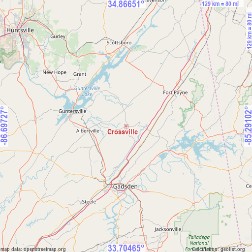
Crossville GPS coordinates[2]
34° 17' 15.324" North, 85° 59' 38.904" West
| Map corner | latitude | longitude |
|---|---|---|
| Upper-left | 34.86651°, | -86.69727° |
| Center: | 34.28759°, | -85.99414° |
| Lower-right: | 33.70465°, | -85.29102° |
| Map W x H: | 129.2×129.2 km | = 80.3×80.3mi |
| max Lat: | 71.29058° ⇑78.5% North |
| Crossville: | 34.28759° |
| min Lat: | ⇓21.5% South 19.06759° |
| min Long | Crossville | max Long |
| -171.73463° | -85.99414° | -66.98998° |
| W 52.9%⇐ | ⇒47.1% E |
Elevation
Elevation of Crossville is 346 m = 1135 ft, and this is 51.2 m = 168 ft above average elevation for this country.
| Max E: |
3189 m = 10463 ft | 20.8% |
| Crossville | 346 m 1135 ft | |
| Avg. | 294.8 m = 967 ft | |
Min E: |
-60 m = -197 ft | 79.2% |
See also: United States elevation on elevation.city.
Geographical zone
Crossville is located in North temperate zone (between Tropic of Cancer and the Arctic Circle). Distance of this Northern Tropic circle is 1206.5 km =749.7 mi to South.| Distance of | km | miles | from Crossville |
|---|---|---|---|
| North Pole | 6194.6 | 3849.1 | to North |
| Arctic Circle | 3588.8 | 2230 | to North |
| Tropic Cancer | 1206.5 | 749.7 | to South |
| Equator | 3812.4 | 2368.9 | to South |


Nearby cities:
15 places around Crossville: (largest is in red/bold)
• Albertville
19.8 km =12.3 mi,  263°
263°
• Boaz
18.5 km =11.5 mi,  238°
238°
• Carlisle-Rockledge
22.7 km =14.1 mi,  211°
211°
• Collinsville
12.6 km =7.8 mi,  102°
102°
• Egypt
28 km =17.4 mi, 212°
• Fyffe
19.5 km =12.1 mi,  25°
25°
• Geraldine
7.1 km =4.4 mi,  355°
355°
• Leesburg
24.5 km =15.2 mi,  119°
119°
• Mount Vernon
19 km =11.8 mi,  88°
88°
• Powell
28.7 km =17.8 mi,  18°
18°
• Rainsville
26.6 km =16.5 mi, 30°
• Reece City
24.2 km =15 mi,  188°
188°
• Sand Rock
21.3 km =13.2 mi, 103°
• Sardis City
17.3 km =10.7 mi,  223°
223°
• Whitesboro
15.4 km =9.6 mi, 206°
Sources, notices
• [Note1] Compared only with cities in United States existing in our database
• [Src1] Map data: © OpenStreetMap contributors (CC-BY-SA)
• [Src2] Other city data from geonames.org with taken over terms of usage.
• [Src3] Geographical zone / Annual Mean Temperature by Robert A. Rohde @ Wikipedia
