Hillsboro geodata
Hillsboro (Alabama) is a populated place; located in United States in America/Chicago (GMT-5) time zone. With population of 519 people, there are 20641 cities with bigger population in this country. Compared to other cities in United States, 77.1% of cities are located further ↑North; 50.1% of cities are located further →East and 54.8% of cities have higher elevation than Hillsboro. Note1


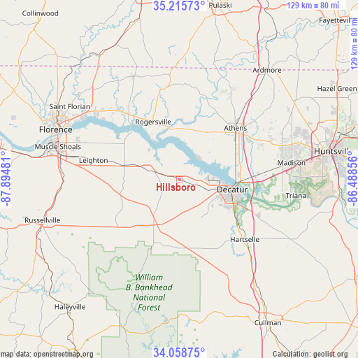
Hillsboro GPS coordinates[2]
34° 38' 21.336" North, 87° 11' 30.048" West
| Map corner | latitude | longitude |
|---|---|---|
| Upper-left | 35.21573°, | -87.89481° |
| Center: | 34.63926°, | -87.19168° |
| Lower-right: | 34.05875°, | -86.48856° |
| Map W x H: | 128.6×128.6 km | = 79.9×79.9mi |
| max Lat: | 71.29058° ⇑77.1% North |
| Hillsboro: | 34.63926° |
| min Lat: | ⇓22.9% South 19.06759° |
| min Long | Hillsboro | max Long |
| -171.73463° | -87.19168° | -66.98998° |
| W 49.9%⇐ | ⇒50.1% E |
Elevation
Elevation of Hillsboro is 181 m = 594 ft, and this is 113.8 m = 373 ft below average elevation for this country.
| Max E: |
3189 m = 10463 ft | 54.8% |
| Avg. | 294.8 m = 967 ft | |
| Hillsboro | 181 m = 594 ft | |
Min E: |
-60 m = -197 ft | 45.2% |
See also: United States elevation on elevation.city.
Geographical zone
Hillsboro is located in North temperate zone (between Tropic of Cancer and the Arctic Circle). Distance of this Northern Tropic circle is 1245.6 km =774 mi to South.| Distance of | km | miles | from Hillsboro |
|---|---|---|---|
| North Pole | 6155.5 | 3824.8 | to North |
| Arctic Circle | 3549.6 | 2205.6 | to North |
| Tropic Cancer | 1245.6 | 774 | to South |
| Equator | 3851.5 | 2393.2 | to South |


Nearby cities:
15 places around Hillsboro: (largest is in red/bold)
• Athens
27 km =16.8 mi,  47°
47°
• Courtland
11.3 km =7 mi,  287°
287°
• Danville
26.7 km =16.6 mi,  159°
159°
• Decatur
19.4 km =12.1 mi,  101°
101°
• Falkville
39.7 km =24.7 mi,  139°
139°
• Flint City
24 km =14.9 mi,  122°
122°
• Hartselle
32 km =19.9 mi,  132°
132°
• Leighton
31.6 km =19.6 mi,  282°
282°
• Moulton
19.9 km =12.4 mi,  207°
207°
• North Courtland
13.2 km =8.2 mi, 286°
• Priceville
30 km =18.6 mi, 115°
• Rogersville
22.9 km =14.2 mi,  335°
335°
• Town Creek
20.2 km =12.6 mi, 283°
• Trinity
10.1 km =6.3 mi,  110°
110°
• Washington Street Courthouse Annex
27 km =16.8 mi, 47°
Sources, notices
• [Note1] Compared only with cities in United States existing in our database
• [Src1] Map data: © OpenStreetMap contributors (CC-BY-SA)
• [Src2] Other city data from geonames.org with taken over terms of usage.
• [Src3] Geographical zone / Annual Mean Temperature by Robert A. Rohde @ Wikipedia
