Lake View geodata
Lake View (Alabama) is a populated place; located in United States in America/Chicago (GMT-5) time zone. With population of 2,114 people, there are 11571 cities with bigger population in this country. Compared to other cities in United States, 84% of cities are located further ↑North; 50% of cities are located further ←West and 61.5% of cities have higher elevation than Lake View. Note1


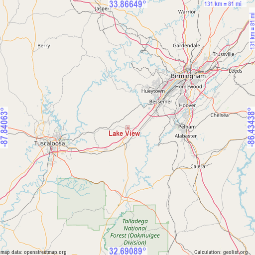
Lake View GPS coordinates[2]
33° 16' 50.412" North, 87° 8' 15" West
| Map corner | latitude | longitude |
|---|---|---|
| Upper-left | 33.86649°, | -87.84063° |
| Center: | 33.28067°, | -87.1375° |
| Lower-right: | 32.69089°, | -86.43438° |
| Map W x H: | 130.7×130.7 km | = 81.2×81.2mi |
| max Lat: | 71.29058° ⇑84% North |
| Lake View: | 33.28067° |
| min Lat: | ⇓16% South 19.06759° |
| min Long | Lake View | max Long |
| -171.73463° | -87.1375° | -66.98998° |
| W 50%⇐ | ⇒50% E |
Elevation
Elevation of Lake View is 147 m = 482 ft, and this is 147.8 m = 485 ft below average elevation for this country.
| Max E: |
3189 m = 10463 ft | 61.5% |
| Avg. | 294.8 m = 967 ft | |
| Lake View | 147 m = 482 ft | |
Min E: |
-60 m = -197 ft | 38.5% |
See also: United States elevation on elevation.city.
Geographical zone
Lake View is located in North temperate zone (between Tropic of Cancer and the Arctic Circle). Distance of this Northern Tropic circle is 1094.5 km =680.1 mi to South.| Distance of | km | miles | from Lake View |
|---|---|---|---|
| North Pole | 6306.6 | 3918.7 | to North |
| Arctic Circle | 3700.7 | 2299.5 | to North |
| Tropic Cancer | 1094.5 | 680.1 | to South |
| Equator | 3700.5 | 2299.4 | to South |


Nearby cities:
15 places around Lake View: (largest is in red/bold)
• Bessemer
21.7 km =13.5 mi,  51°
51°
• Brantleyville
25.4 km =15.8 mi,  106°
106°
• Brighton
24.6 km =15.3 mi, 45°
• Brookwood
17.3 km =10.7 mi,  260°
260°
• Coaling
23.3 km =14.5 mi,  234°
234°
• Concord
23 km =14.3 mi,  25°
25°
• Helena
27.4 km =17 mi,  86°
86°
• Hueytown
23 km =14.3 mi, 34°
• Lipscomb
25.4 km =15.8 mi, 50°
• North Bibb
8.6 km =5.3 mi,  189°
189°
• Pleasant Grove
28.1 km =17.5 mi, 33°
• Rock Creek
22.5 km =14 mi,  13°
13°
• Vance
14.8 km =9.2 mi,  217°
217°
• West Blocton
18.1 km =11.2 mi,  176°
176°
• Woodstock
8.3 km =5.2 mi, 188°
Sources, notices
• [Note1] Compared only with cities in United States existing in our database
• [Src1] Map data: © OpenStreetMap contributors (CC-BY-SA)
• [Src2] Other city data from geonames.org with taken over terms of usage.
• [Src3] Geographical zone / Annual Mean Temperature by Robert A. Rohde @ Wikipedia
