Vance geodata
Vance (Alabama) is a populated place; located in United States in America/Chicago (GMT-5) time zone. With population of 1,513 people, there are 13609 cities with bigger population in this country. Compared to other cities in United States, 84.5% of cities are located further ↑North; 50.2% of cities are located further →East and 59.7% of cities have higher elevation than Vance. Note1


Vance GPS coordinates[2]
33° 10' 27.408" North, 87° 14' 0.996" West
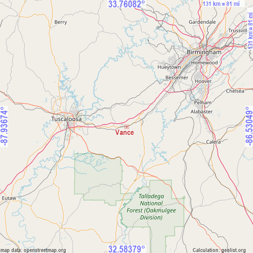
| Map corner | latitude | longitude |
|---|---|---|
| Upper-left | 33.76082°, | -87.93674° |
| Center: | 33.17428°, | -87.23361° |
| Lower-right: | 32.58379°, | -86.53049° |
| Map W x H: | 130.9×130.9 km | = 81.3×81.3mi |
| max Lat: | 71.29058° ⇑84.5% North |
| Vance: | 33.17428° |
| min Lat: | ⇓15.5% South 19.06759° |
| min Long | Vance | max Long |
| -171.73463° | -87.23361° | -66.98998° |
| W 49.8%⇐ | ⇒50.2% E |
Elevation
Elevation of Vance is 156 m = 512 ft, and this is 138.8 m = 455 ft below average elevation for this country.
| Max E: |
3189 m = 10463 ft | 59.7% |
| Avg. | 294.8 m = 967 ft | |
| Vance | 156 m = 512 ft | |
Min E: |
-60 m = -197 ft | 40.3% |
See also: United States elevation on elevation.city.
Geographical zone
Vance is located in North temperate zone (between Tropic of Cancer and the Arctic Circle). Distance of this Northern Tropic circle is 1082.7 km =672.8 mi to South.| Distance of | km | miles | from Vance |
|---|---|---|---|
| North Pole | 6318.4 | 3926.1 | to North |
| Arctic Circle | 3712.5 | 2306.8 | to North |
| Tropic Cancer | 1082.7 | 672.8 | to South |
| Equator | 3688.6 | 2292 | to South |


Nearby cities:
15 places around Vance: (largest is in red/bold)
• Bessemer
36.2 km =22.5 mi,  45°
45°
• Brantleyville
33.7 km =20.9 mi,  82°
82°
• Brent
27.1 km =16.8 mi,  166°
166°
• Brookwood
12.2 km =7.6 mi,  318°
318°
• Centreville
27.6 km =17.1 mi,  156°
156°
• Coaling
10.1 km =6.3 mi,  260°
260°
• Holt
24.3 km =15.1 mi,  285°
285°
• Lake View
14.8 km =9.2 mi,  37°
37°
• Montevallo
35.4 km =22 mi,  103°
103°
• North Bibb
8.2 km =5.1 mi,  66°
66°
• Northport
32.5 km =20.2 mi,  280°
280°
• Tuscaloosa
31.5 km =19.6 mi, 277°
• West Blocton
11.9 km =7.4 mi,  121°
121°
• Wilton
34.5 km =21.4 mi,  107°
107°
• Woodstock
8.6 km =5.3 mi, 65°
Sources, notices
• [Note1] Compared only with cities in United States existing in our database
• [Src1] Map data: © OpenStreetMap contributors (CC-BY-SA)
• [Src2] Other city data from geonames.org with taken over terms of usage.
• [Src3] Geographical zone / Annual Mean Temperature by Robert A. Rohde @ Wikipedia
