York geodata
York (Alabama) is a populated place; located in United States in America/Chicago (GMT-5) time zone. With population of 2,399 people, there are 10852 cities with bigger population in this country. Compared to other cities in United States, 87.2% of cities are located further ↑North; 54.1% of cities are located further →East and 78.8% of cities have higher elevation than York. Note1


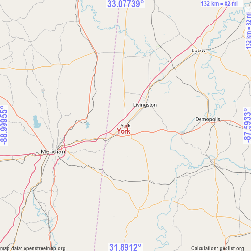
York GPS coordinates[2]
32° 29' 10.5" North, 88° 17' 47.112" West
| Map corner | latitude | longitude |
|---|---|---|
| Upper-left | 33.07739°, | -88.99955° |
| Center: | 32.48625°, | -88.29642° |
| Lower-right: | 31.8912°, | -87.5933° |
| Map W x H: | 131.9×131.9 km | = 82×82mi |
| max Lat: | 71.29058° ⇑87.2% North |
| York: | 32.48625° |
| min Lat: | ⇓12.8% South 19.06759° |
| min Long | York | max Long |
| -171.73463° | -88.29642° | -66.98998° |
| W 45.9%⇐ | ⇒54.1% E |
Elevation
Elevation of York is 52 m = 171 ft, and this is 242.8 m = 797 ft below average elevation for this country.
| Max E: |
3189 m = 10463 ft | 78.8% |
| Avg. | 294.8 m = 967 ft | |
| York | 52 m = 171 ft | |
Min E: |
-60 m = -197 ft | 21.2% |
See also: United States elevation on elevation.city.
Geographical zone
York is located in North temperate zone (between Tropic of Cancer and the Arctic Circle). Distance of this Northern Tropic circle is 1006.2 km =625.2 mi to South.| Distance of | km | miles | from York |
|---|---|---|---|
| North Pole | 6394.9 | 3973.6 | to North |
| Arctic Circle | 3789 | 2354.4 | to North |
| Tropic Cancer | 1006.2 | 625.2 | to South |
| Equator | 3612.1 | 2244.5 | to South |


Nearby cities:
15 places around York: (largest is in red/bold)
• Bellamy
15.8 km =9.8 mi,  105°
105°
• Butler
44.7 km =27.8 mi,  170°
170°
• Collinsville
51.5 km =32 mi,  271°
271°
• De Kalb
45.6 km =28.3 mi,  313°
313°
• Demopolis
43.3 km =26.9 mi,  85°
85°
• Forkland
42.7 km =26.5 mi,  65°
65°
• Linden
50.9 km =31.6 mi, 113°
• Lisman
35.3 km =21.9 mi,  177°
177°
• Livingston
15 km =9.3 mi,  43°
43°
• Marion
33.8 km =21 mi,  256°
256°
• Meridian
40.6 km =25.2 mi,  250°
250°
• Meridian Station
31 km =19.3 mi,  283°
283°
• Nellieburg
46 km =28.6 mi, 258°
• Scooba
41.6 km =25.8 mi,  336°
336°
• Toomsuba
21.1 km =13.1 mi, 249°
Sources, notices
• [Note1] Compared only with cities in United States existing in our database
• [Src1] Map data: © OpenStreetMap contributors (CC-BY-SA)
• [Src2] Other city data from geonames.org with taken over terms of usage.
• [Src3] Geographical zone / Annual Mean Temperature by Robert A. Rohde @ Wikipedia
