Nellieburg geodata
Nellieburg (Mississippi) is a populated place; located in United States in America/Chicago (GMT-5) time zone. With population of 1,414 people, there are 14047 cities with bigger population in this country. Compared to other cities in United States, 87.5% of cities are located further ↑North; 55.6% of cities are located further →East and 69.7% of cities have higher elevation than Nellieburg. Note1


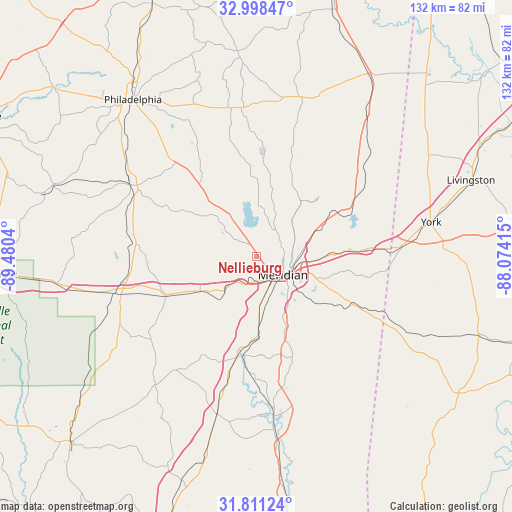
Nellieburg GPS coordinates[2]
32° 24' 24.516" North, 88° 46' 38.172" West
| Map corner | latitude | longitude |
|---|---|---|
| Upper-left | 32.99847°, | -89.4804° |
| Center: | 32.40681°, | -88.77727° |
| Lower-right: | 31.81124°, | -88.07415° |
| Map W x H: | 132×132 km | = 82×82mi |
| max Lat: | 71.29058° ⇑87.5% North |
| Nellieburg: | 32.40681° |
| min Lat: | ⇓12.5% South 19.06759° |
| min Long | Nellieburg | max Long |
| -171.73463° | -88.77727° | -66.98998° |
| W 44.4%⇐ | ⇒55.6% E |
Elevation
Elevation of Nellieburg is 102 m = 335 ft, and this is 192.8 m = 633 ft below average elevation for this country.
| Max E: |
3189 m = 10463 ft | 69.7% |
| Avg. | 294.8 m = 967 ft | |
| Nellieburg | 102 m = 335 ft | |
Min E: |
-60 m = -197 ft | 30.3% |
See also: United States elevation on elevation.city.
Geographical zone
Nellieburg is located in North temperate zone (between Tropic of Cancer and the Arctic Circle). Distance of this Northern Tropic circle is 997.4 km =619.8 mi to South.| Distance of | km | miles | from Nellieburg |
|---|---|---|---|
| North Pole | 6403.8 | 3979.1 | to North |
| Arctic Circle | 3797.9 | 2359.9 | to North |
| Tropic Cancer | 997.4 | 619.8 | to South |
| Equator | 3603.3 | 2239 | to South |


Nearby cities:
15 places around Nellieburg: (largest is in red/bold)
• Collinsville
12 km =7.5 mi,  327°
327°
• De Kalb
41.8 km =26 mi,  16°
16°
• Decatur
31.3 km =19.4 mi,  276°
276°
• Enterprise
26.3 km =16.3 mi,  191°
191°
• Hickory
25.3 km =15.7 mi,  246°
246°
• Marion
12.2 km =7.6 mi,  84°
84°
• Meridian
8.4 km =5.2 mi,  124°
124°
• Meridian Station
21.8 km =13.5 mi,  42°
42°
• Newton
37.5 km =23.3 mi,  255°
255°
• Quitman
41 km =25.5 mi,  173°
173°
• Stonewall
30.6 km =19 mi,  182°
182°
• Toomsuba
25.4 km =15.8 mi,  87°
87°
• Tucker
42.2 km =26.2 mi,  322°
322°
• Union
37.1 km =23.1 mi,  299°
299°
• York
46 km =28.6 mi, 78°
Sources, notices
• [Note1] Compared only with cities in United States existing in our database
• [Src1] Map data: © OpenStreetMap contributors (CC-BY-SA)
• [Src2] Other city data from geonames.org with taken over terms of usage.
• [Src3] Geographical zone / Annual Mean Temperature by Robert A. Rohde @ Wikipedia
