Strong geodata
Strong (Arkansas) is a populated place; located in United States in America/Chicago (GMT-5) time zone. With population of 558 people, there are 20177 cities with bigger population in this country. Compared to other cities in United States, 84.7% of cities are located further ↑North; 64.9% of cities are located further →East and 80.9% of cities have higher elevation than Strong. Note1


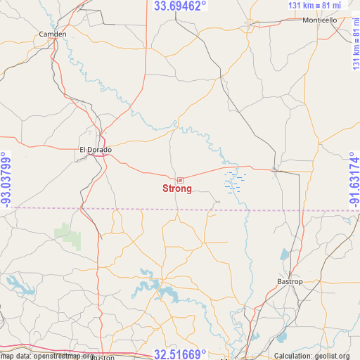
Strong GPS coordinates[2]
33° 6' 27.468" North, 92° 20' 5.496" West
| Map corner | latitude | longitude |
|---|---|---|
| Upper-left | 33.69462°, | -93.03799° |
| Center: | 33.10763°, | -92.33486° |
| Lower-right: | 32.51669°, | -91.63174° |
| Map W x H: | 131×131 km | = 81.4×81.4mi |
| max Lat: | 71.29058° ⇑84.7% North |
| Strong: | 33.10763° |
| min Lat: | ⇓15.3% South 19.06759° |
| min Long | Strong | max Long |
| -171.73463° | -92.33486° | -66.98998° |
| W 35.1%⇐ | ⇒64.9% E |
Elevation
Elevation of Strong is 43 m = 141 ft, and this is 251.8 m = 826 ft below average elevation for this country.
| Max E: |
3189 m = 10463 ft | 80.9% |
| Avg. | 294.8 m = 967 ft | |
| Strong | 43 m = 141 ft | |
Min E: |
-60 m = -197 ft | 19.1% |
See also: United States elevation on elevation.city.
Geographical zone
Strong is located in North temperate zone (between Tropic of Cancer and the Arctic Circle). Distance of this Northern Tropic circle is 1075.3 km =668.2 mi to South.| Distance of | km | miles | from Strong |
|---|---|---|---|
| North Pole | 6325.8 | 3930.7 | to North |
| Arctic Circle | 3720 | 2311.5 | to North |
| Tropic Cancer | 1075.3 | 668.2 | to South |
| Equator | 3681.2 | 2287.4 | to South |


Nearby cities:
15 places around Strong: (largest is in red/bold)
• Bernice
43.8 km =27.2 mi,  223°
223°
• Crossett
34.9 km =21.7 mi,  86°
86°
• El Dorado
32.8 km =20.4 mi,  289°
289°
• Farmerville
37.7 km =23.4 mi,  190°
190°
• Hampton
49.5 km =30.8 mi,  345°
345°
• Hermitage
40.5 km =25.2 mi,  21°
21°
• Huttig
16.1 km =10 mi,  118°
118°
• Junction City
37.7 km =23.4 mi,  254°
254°
• Junction City
37.8 km =23.5 mi, 253°
• Marion
24.5 km =15.2 mi,  159°
159°
• Norphlet
38.3 km =23.8 mi,  307°
307°
• North Crossett
37.2 km =23.1 mi,  80°
80°
• Smackover
46.2 km =28.7 mi, 308°
• Sterlington
51.3 km =31.9 mi,  153°
153°
• West Crossett
32 km =19.9 mi, 83°
Sources, notices
• [Note1] Compared only with cities in United States existing in our database
• [Src1] Map data: © OpenStreetMap contributors (CC-BY-SA)
• [Src2] Other city data from geonames.org with taken over terms of usage.
• [Src3] Geographical zone / Annual Mean Temperature by Robert A. Rohde @ Wikipedia
