Cocoa geodata
Cocoa (Florida) is a populated place; located in United States in America/New_York (GMT-4) time zone. With population of 17,711 people, there are 2822 cities with bigger population in this country. Compared to other cities in United States, 96.1% of cities are located further ↑North; 70.1% of cities are located further ←West and 88.6% of cities have higher elevation than Cocoa. Note1


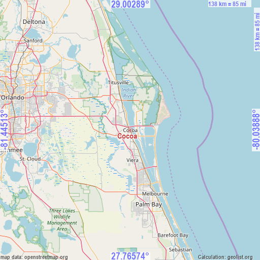
Cocoa GPS coordinates[2]
28° 23' 10.032" North, 80° 44' 31.2" West
| Map corner | latitude | longitude |
|---|---|---|
| Upper-left | 29.00289°, | -81.44513° |
| Center: | 28.38612°, | -80.742° |
| Lower-right: | 27.76574°, | -80.03888° |
| Map W x H: | 137.6×137.6 km | = 85.5×85.5mi |
| max Lat: | 71.29058° ⇑96.1% North |
| Cocoa: | 28.38612° |
| min Lat: | ⇓3.9% South 19.06759° |
| min Long | Cocoa | max Long |
| -171.73463° | -80.742° | -66.98998° |
| W 70.1%⇐ | ⇒29.9% E |
Elevation
Elevation of Cocoa is 19 m = 62 ft, and this is 275.8 m = 905 ft below average elevation for this country.
| Max E: |
3189 m = 10463 ft | 88.6% |
| Avg. | 294.8 m = 967 ft | |
| Cocoa | 19 m = 62 ft | |
Min E: |
-60 m = -197 ft | 11.4% |
See also: United States elevation on elevation.city.
Geographical zone
Cocoa is located in North temperate zone (between Tropic of Cancer and the Arctic Circle). Distance of this Northern Tropic circle is 550.3 km =341.9 mi to South.| Distance of | km | miles | from Cocoa |
|---|---|---|---|
| North Pole | 6850.8 | 4256.9 | to North |
| Arctic Circle | 4244.9 | 2637.7 | to North |
| Tropic Cancer | 550.3 | 341.9 | to South |
| Equator | 3156.2 | 1961.2 | to South |


Nearby cities:
15 places around Cocoa: (largest is in red/bold)
• Cape Canaveral
13.6 km =8.5 mi,  80°
80°
• Christmas
31.7 km =19.7 mi,  301°
301°
• Cocoa Beach
14.9 km =9.3 mi,  119°
119°
• Cocoa West
4.1 km =2.5 mi,  223°
223°
• Indian Harbour Beach
30.4 km =18.9 mi,  150°
150°
• Merritt Island
18.3 km =11.4 mi,  21°
21°
• Palm Shores
24.1 km =15 mi,  158°
158°
• Port Saint John
11.1 km =6.9 mi,  335°
335°
• Rockledge
4.2 km =2.6 mi, 157°
• Satellite Beach
27.7 km =17.2 mi, 147°
• Sharpes
5.4 km =3.4 mi, 341°
• South Patrick Shores
24.2 km =15 mi, 147°
• Titusville
25.9 km =16.1 mi,  345°
345°
• Viera East
14 km =8.7 mi,  168°
168°
• Viera West
15.7 km =9.8 mi,  177°
177°
Sources, notices
• [Note1] Compared only with cities in United States existing in our database
• [Src1] Map data: © OpenStreetMap contributors (CC-BY-SA)
• [Src2] Other city data from geonames.org with taken over terms of usage.
• [Src3] Geographical zone / Annual Mean Temperature by Robert A. Rohde @ Wikipedia
