Highland City geodata
Highland City (Florida) is a populated place; located in United States in America/New_York (GMT-4) time zone. With population of 10,834 people, there are 4221 cities with bigger population in this country. Compared to other cities in United States, 96.7% of cities are located further ↑North; 66% of cities are located further ←West and 81.8% of cities have higher elevation than Highland City. Note1


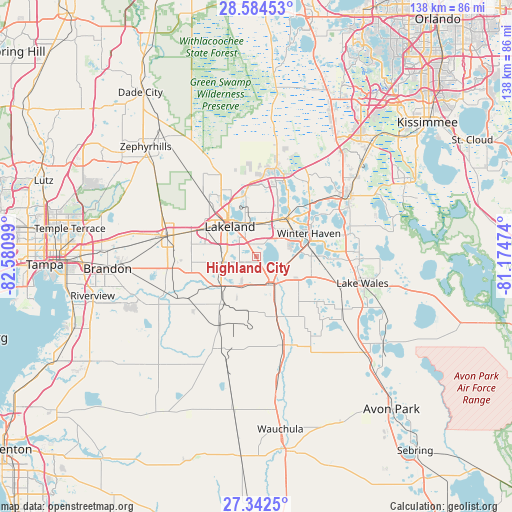
Highland City GPS coordinates[2]
27° 57' 55.08" North, 81° 52' 40.296" West
| Map corner | latitude | longitude |
|---|---|---|
| Upper-left | 28.58453°, | -82.58099° |
| Center: | 27.9653°, | -81.87786° |
| Lower-right: | 27.3425°, | -81.17474° |
| Map W x H: | 138.1×138.1 km | = 85.8×85.8mi |
| max Lat: | 71.29058° ⇑96.7% North |
| Highland City: | 27.9653° |
| min Lat: | ⇓3.3% South 19.06759° |
| min Long | Highland City | max Long |
| -171.73463° | -81.87786° | -66.98998° |
| W 66%⇐ | ⇒34% E |
Elevation
Elevation of Highland City is 39 m = 128 ft, and this is 255.8 m = 839 ft below average elevation for this country.
| Max E: |
3189 m = 10463 ft | 81.8% |
| Avg. | 294.8 m = 967 ft | |
| Highland City | 39 m = 128 ft | |
Min E: |
-60 m = -197 ft | 18.2% |
See also: United States elevation on elevation.city.
Geographical zone
Highland City is located in North temperate zone (between Tropic of Cancer and the Arctic Circle). Distance of this Northern Tropic circle is 503.5 km =312.9 mi to South.| Distance of | km | miles | from Highland City |
|---|---|---|---|
| North Pole | 6897.6 | 4286 | to North |
| Arctic Circle | 4291.7 | 2666.7 | to North |
| Tropic Cancer | 503.5 | 312.9 | to South |
| Equator | 3109.4 | 1932.1 | to South |


Nearby cities:
15 places around Highland City: (largest is in red/bold)
• Auburndale
14.2 km =8.8 mi,  38°
38°
• Bartow
8.4 km =5.2 mi,  155°
155°
• Combee Settlement
10.7 km =6.6 mi,  345°
345°
• Crystal Lake
8.4 km =5.2 mi,  339°
339°
• Eagle Lake
12 km =7.5 mi,  83°
83°
• Fuller Heights
13.4 km =8.3 mi,  242°
242°
• Fussels Corner
10 km =6.2 mi,  9°
9°
• Inwood
13.6 km =8.5 mi,  54°
54°
• Jan-Phyl Village
11.8 km =7.3 mi,  62°
62°
• Lakeland
10.9 km =6.8 mi,  319°
319°
• Lakeland Highlands
7.1 km =4.4 mi,  265°
265°
• Medulla
9.4 km =5.8 mi, 271°
• Mulberry
12.2 km =7.6 mi,  230°
230°
• Wahneta
14.9 km =9.3 mi,  95°
95°
• Willow Oak
14.8 km =9.2 mi,  248°
248°
Sources, notices
• [Note1] Compared only with cities in United States existing in our database
• [Src1] Map data: © OpenStreetMap contributors (CC-BY-SA)
• [Src2] Other city data from geonames.org with taken over terms of usage.
• [Src3] Geographical zone / Annual Mean Temperature by Robert A. Rohde @ Wikipedia
