Plant City geodata
Plant City (Florida) is a populated place; located in United States in America/New_York (GMT-4) time zone. With population of 37,406 people, there are 1303 cities with bigger population in this country. Compared to other cities in United States, 96.6% of cities are located further ↑North; 65.1% of cities are located further ←West and 80.3% of cities have higher elevation than Plant City. Note1


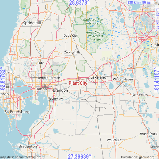
Plant City GPS coordinates[2]
28° 1' 7.968" North, 82° 6' 52.884" West
| Map corner | latitude | longitude |
|---|---|---|
| Upper-left | 28.6378°, | -82.81782° |
| Center: | 28.01888°, | -82.11469° |
| Lower-right: | 27.39639°, | -81.41157° |
| Map W x H: | 138×138 km | = 85.7×85.7mi |
| max Lat: | 71.29058° ⇑96.6% North |
| Plant City: | 28.01888° |
| min Lat: | ⇓3.4% South 19.06759° |
| min Long | Plant City | max Long |
| -171.73463° | -82.11469° | -66.98998° |
| W 65.1%⇐ | ⇒34.9% E |
Elevation
Elevation of Plant City is 45 m = 148 ft, and this is 249.8 m = 820 ft below average elevation for this country.
| Max E: |
3189 m = 10463 ft | 80.3% |
| Avg. | 294.8 m = 967 ft | |
| Plant City | 45 m = 148 ft | |
Min E: |
-60 m = -197 ft | 19.7% |
See also: United States elevation on elevation.city.
Geographical zone
Plant City is located in North temperate zone (between Tropic of Cancer and the Arctic Circle). Distance of this Northern Tropic circle is 509.5 km =316.6 mi to South.| Distance of | km | miles | from Plant City |
|---|---|---|---|
| North Pole | 6891.7 | 4282.3 | to North |
| Arctic Circle | 4285.8 | 2663.1 | to North |
| Tropic Cancer | 509.5 | 316.6 | to South |
| Equator | 3115.4 | 1935.8 | to South |


Nearby cities:
15 places around Plant City: (largest is in red/bold)
• Bloomingdale
18.6 km =11.6 mi,  221°
221°
• Brandon
19.1 km =11.9 mi,  241°
241°
• Crystal Springs
18.6 km =11.6 mi,  346°
346°
• Dover
10.7 km =6.6 mi,  255°
255°
• Fuller Heights
16.7 km =10.4 mi,  136°
136°
• Gibsonia
17.5 km =10.9 mi,  52°
52°
• Kathleen
14.5 km =9 mi,  38°
38°
• Lakeland
16.3 km =10.1 mi,  81°
81°
• Lakeland Highlands
17.4 km =10.8 mi,  112°
112°
• Medulla
15 km =9.3 mi, 112°
• Seffner
16.3 km =10.1 mi, 256°
• Thonotosassa
19 km =11.8 mi,  284°
284°
• Valrico
15 km =9.3 mi,  233°
233°
• Willow Oak
14.9 km =9.3 mi, 140°
• Winston
9.9 km =6.2 mi, 81°
Sources, notices
• [Note1] Compared only with cities in United States existing in our database
• [Src1] Map data: © OpenStreetMap contributors (CC-BY-SA)
• [Src2] Other city data from geonames.org with taken over terms of usage.
• [Src3] Geographical zone / Annual Mean Temperature by Robert A. Rohde @ Wikipedia
