Steeleville geodata
Steeleville (Illinois) is a populated place; located in United States in America/Chicago (GMT-5) time zone. With population of 1,993 people, there are 11957 cities with bigger population in this country. Compared to other cities in United States, 61.5% of cities are located further ↑North; 58% of cities are located further →East and 65.5% of cities have higher elevation than Steeleville. Note1


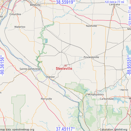
Steeleville GPS coordinates[2]
38° 0' 26.172" North, 89° 39' 30.348" West
| Map corner | latitude | longitude |
|---|---|---|
| Upper-left | 38.55919°, | -90.36156° |
| Center: | 38.00727°, | -89.65843° |
| Lower-right: | 37.45117°, | -88.95531° |
| Map W x H: | 123.2×123.2 km | = 76.6×76.6mi |
| max Lat: | 71.29058° ⇑61.5% North |
| Steeleville: | 38.00727° |
| min Lat: | ⇓38.5% South 19.06759° |
| min Long | Steeleville | max Long |
| -171.73463° | -89.65843° | -66.98998° |
| W 42%⇐ | ⇒58% E |
Elevation
Elevation of Steeleville is 126 m = 413 ft, and this is 168.8 m = 554 ft below average elevation for this country.
| Max E: |
3189 m = 10463 ft | 65.5% |
| Avg. | 294.8 m = 967 ft | |
| Steeleville | 126 m = 413 ft | |
Min E: |
-60 m = -197 ft | 34.5% |
See also: United States elevation on elevation.city.
Geographical zone
Steeleville is located in North temperate zone (between Tropic of Cancer and the Arctic Circle). Distance of this Northern Tropic circle is 1620.1 km =1006.7 mi to South.| Distance of | km | miles | from Steeleville |
|---|---|---|---|
| North Pole | 5781 | 3592.1 | to North |
| Arctic Circle | 3175.2 | 1973 | to North |
| Tropic Cancer | 1620.1 | 1006.7 | to South |
| Equator | 4226 | 2625.9 | to South |


Nearby cities:
15 places around Steeleville: (largest is in red/bold)
• Ava
19.5 km =12.1 mi,  132°
132°
• Chester
17.7 km =11 mi,  234°
234°
• Coulterville
20.5 km =12.7 mi,  13°
13°
• Du Quoin
37 km =23 mi,  89°
89°
• Evansville
26.2 km =16.3 mi,  290°
290°
• Harrison
36.6 km =22.7 mi, 129°
• Marissa
28.2 km =17.5 mi,  343°
343°
• Percy
3.6 km =2.2 mi,  73°
73°
• Perryville
36.2 km =22.5 mi,  209°
209°
• Pinckneyville
25.5 km =15.8 mi, 71°
• Red Bud
37.1 km =23.1 mi,  307°
307°
• Sainte Genevieve
33.7 km =20.9 mi,  265°
265°
• Sparta
13.4 km =8.3 mi, 343°
• Tilden
22.9 km =14.2 mi,  354°
354°
• Willisville
6.6 km =4.1 mi,  113°
113°
Sources, notices
• [Note1] Compared only with cities in United States existing in our database
• [Src1] Map data: © OpenStreetMap contributors (CC-BY-SA)
• [Src2] Other city data from geonames.org with taken over terms of usage.
• [Src3] Geographical zone / Annual Mean Temperature by Robert A. Rohde @ Wikipedia
