Greenville geodata
Greenville (Kentucky) is a seat of a second-order administrative division; located in United States in America/Chicago (GMT-5) time zone. With population of 4,395 people, there are 7758 cities with bigger population in this country. Compared to other cities in United States, 65.3% of cities are located further ↑North; 50.1% of cities are located further →East and 58.2% of cities have higher elevation than Greenville. Note1


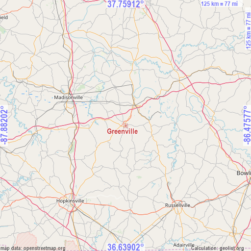
Greenville GPS coordinates[2]
37° 12' 4.14" North, 87° 10' 44.004" West
| Map corner | latitude | longitude |
|---|---|---|
| Upper-left | 37.75912°, | -87.88202° |
| Center: | 37.20115°, | -87.17889° |
| Lower-right: | 36.63902°, | -86.47577° |
| Map W x H: | 124.5×124.5 km | = 77.4×77.4mi |
| max Lat: | 71.29058° ⇑65.3% North |
| Greenville: | 37.20115° |
| min Lat: | ⇓34.7% South 19.06759° |
| min Long | Greenville | max Long |
| -171.73463° | -87.17889° | -66.98998° |
| W 49.9%⇐ | ⇒50.1% E |
Elevation
Elevation of Greenville is 164 m = 538 ft, and this is 130.8 m = 429 ft below average elevation for this country.
| Max E: |
3189 m = 10463 ft | 58.2% |
| Avg. | 294.8 m = 967 ft | |
| Greenville | 164 m = 538 ft | |
Min E: |
-60 m = -197 ft | 41.8% |
See also: United States elevation on elevation.city.
Geographical zone
Greenville is located in North temperate zone (between Tropic of Cancer and the Arctic Circle). Distance of this Northern Tropic circle is 1530.5 km =951 mi to South.| Distance of | km | miles | from Greenville |
|---|---|---|---|
| North Pole | 5870.7 | 3647.9 | to North |
| Arctic Circle | 3264.8 | 2028.7 | to North |
| Tropic Cancer | 1530.5 | 951 | to South |
| Equator | 4136.4 | 2570.2 | to South |


Nearby cities:
15 places around Greenville: (largest is in red/bold)
• Beaver Dam
34.9 km =21.7 mi,  50°
50°
• Beechmont
13.3 km =8.3 mi,  102°
102°
• Central City
11.4 km =7.1 mi,  25°
25°
• Crofton
32 km =19.9 mi,  237°
237°
• Drakesboro
11.7 km =7.3 mi,  81°
81°
• Earlington
30.6 km =19 mi,  285°
285°
• Hanson
35.9 km =22.3 mi,  311°
311°
• Lewisburg
31.5 km =19.6 mi,  139°
139°
• Livermore
32.7 km =20.3 mi,  7°
7°
• Madisonville
31.6 km =19.6 mi,  296°
296°
• Morehead
7.8 km =4.8 mi,  1°
1°
• Mortons Gap
26.5 km =16.5 mi,  278°
278°
• Nortonville
24.3 km =15.1 mi,  267°
267°
• Powderly
4.4 km =2.7 mi,  23°
23°
• White Plains
18.2 km =11.3 mi,  263°
263°
Sources, notices
• [Note1] Compared only with cities in United States existing in our database
• [Src1] Map data: © OpenStreetMap contributors (CC-BY-SA)
• [Src2] Other city data from geonames.org with taken over terms of usage.
• [Src3] Geographical zone / Annual Mean Temperature by Robert A. Rohde @ Wikipedia
