Lewisburg geodata
Lewisburg (Kentucky) is a populated place; located in United States in America/Chicago (GMT-5) time zone. With population of 807 people, there are 17752 cities with bigger population in this country. Compared to other cities in United States, 66.2% of cities are located further ↑North; 50.4% of cities are located further ←West and 61.1% of cities have higher elevation than Lewisburg. Note1


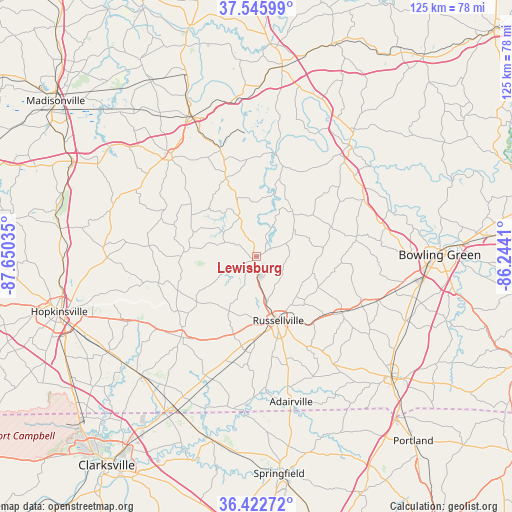
Lewisburg GPS coordinates[2]
36° 59' 11.148" North, 86° 56' 49.992" West
| Map corner | latitude | longitude |
|---|---|---|
| Upper-left | 37.54599°, | -87.65035° |
| Center: | 36.98643°, | -86.94722° |
| Lower-right: | 36.42272°, | -86.2441° |
| Map W x H: | 124.9×124.9 km | = 77.6×77.6mi |
| max Lat: | 71.29058° ⇑66.2% North |
| Lewisburg: | 36.98643° |
| min Lat: | ⇓33.8% South 19.06759° |
| min Long | Lewisburg | max Long |
| -171.73463° | -86.94722° | -66.98998° |
| W 50.4%⇐ | ⇒49.6% E |
Elevation
Elevation of Lewisburg is 149 m = 489 ft, and this is 145.8 m = 478 ft below average elevation for this country.
| Max E: |
3189 m = 10463 ft | 61.1% |
| Avg. | 294.8 m = 967 ft | |
| Lewisburg | 149 m = 489 ft | |
Min E: |
-60 m = -197 ft | 38.9% |
See also: United States elevation on elevation.city.
Geographical zone
Lewisburg is located in North temperate zone (between Tropic of Cancer and the Arctic Circle). Distance of this Northern Tropic circle is 1506.6 km =936.2 mi to South.| Distance of | km | miles | from Lewisburg |
|---|---|---|---|
| North Pole | 5894.6 | 3662.7 | to North |
| Arctic Circle | 3288.7 | 2043.5 | to North |
| Tropic Cancer | 1506.6 | 936.2 | to South |
| Equator | 4112.5 | 2555.4 | to South |


Nearby cities:
15 places around Lewisburg: (largest is in red/bold)
• Adairville
36.5 km =22.7 mi,  166°
166°
• Auburn
25.1 km =15.6 mi,  122°
122°
• Beechmont
22.2 km =13.8 mi,  340°
340°
• Central City
37.6 km =23.4 mi, 335°
• Drakesboro
27.2 km =16.9 mi, 340°
• Elkton
26.9 km =16.7 mi,  223°
223°
• Franklin
44.1 km =27.4 mi,  131°
131°
• Greenville
31.5 km =19.6 mi,  319°
319°
• Guthrie
42.3 km =26.3 mi,  207°
207°
• Morehead
37.6 km =23.4 mi,  327°
327°
• Morgantown
35.4 km =22 mi,  41°
41°
• Oak Grove
43.3 km =26.9 mi,  23°
23°
• Pembroke
43.2 km =26.8 mi,  237°
237°
• Powderly
33.6 km =20.9 mi, 325°
• Russellville
16.6 km =10.3 mi,  161°
161°
Sources, notices
• [Note1] Compared only with cities in United States existing in our database
• [Src1] Map data: © OpenStreetMap contributors (CC-BY-SA)
• [Src2] Other city data from geonames.org with taken over terms of usage.
• [Src3] Geographical zone / Annual Mean Temperature by Robert A. Rohde @ Wikipedia
