Ville Platte geodata
Ville Platte (Louisiana) is a seat of a second-order administrative division; located in United States in America/Chicago (GMT-5) time zone. With population of 7,264 people, there are 5671 cities with bigger population in this country. Compared to other cities in United States, 91.3% of cities are located further ↑North; 64.8% of cities are located further →East and 85.1% of cities have higher elevation than Ville Platte. Note1


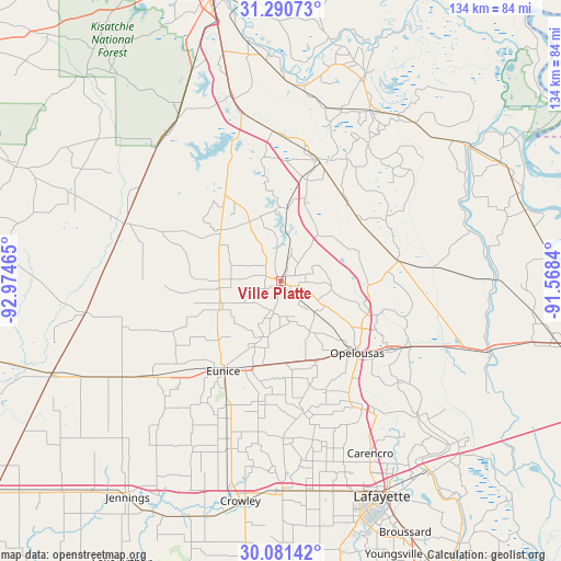
Ville Platte GPS coordinates[2]
30° 41' 16.692" North, 92° 16' 17.472" West
| Map corner | latitude | longitude |
|---|---|---|
| Upper-left | 31.29073°, | -92.97465° |
| Center: | 30.68797°, | -92.27152° |
| Lower-right: | 30.08142°, | -91.5684° |
| Map W x H: | 134.5×134.5 km | = 83.6×83.6mi |
| max Lat: | 71.29058° ⇑91.3% North |
| Ville Platte: | 30.68797° |
| min Lat: | ⇓8.7% South 19.06759° |
| min Long | Ville Platte | max Long |
| -171.73463° | -92.27152° | -66.98998° |
| W 35.2%⇐ | ⇒64.8% E |
Elevation
Elevation of Ville Platte is 28 m = 92 ft, and this is 266.8 m = 875 ft below average elevation for this country.
| Max E: |
3189 m = 10463 ft | 85.1% |
| Avg. | 294.8 m = 967 ft | |
| Ville Platte | 28 m = 92 ft | |
Min E: |
-60 m = -197 ft | 14.9% |
See also: United States elevation on elevation.city.
Geographical zone
Ville Platte is located in North temperate zone (between Tropic of Cancer and the Arctic Circle). Distance of this Northern Tropic circle is 806.3 km =501 mi to South.| Distance of | km | miles | from Ville Platte |
|---|---|---|---|
| North Pole | 6594.9 | 4097.9 | to North |
| Arctic Circle | 3989 | 2478.6 | to North |
| Tropic Cancer | 806.3 | 501 | to South |
| Equator | 3412.2 | 2120.2 | to South |


Nearby cities:
15 places around Ville Platte: (largest is in red/bold)
• Basile
38.4 km =23.9 mi,  234°
234°
• Bunkie
30.7 km =19.1 mi,  16°
16°
• Cheneyville
36.4 km =22.6 mi,  357°
357°
• Church Point
32.1 km =19.9 mi,  170°
170°
• Eunice
25.7 km =16 mi,  213°
213°
• Grand Coteau
36.8 km =22.9 mi,  144°
144°
• Lawtell
20.6 km =12.8 mi,  156°
156°
• Leonville
37 km =23 mi,  130°
130°
• Mamou
15.4 km =9.6 mi,  246°
246°
• Opelousas
25 km =15.5 mi, 133°
• Pine Prairie
18.2 km =11.3 mi,  305°
305°
• Port Barre
33.5 km =20.8 mi,  115°
115°
• Reddell
14.9 km =9.3 mi,  264°
264°
• Sunset
36.4 km =22.6 mi,  147°
147°
• Washington
22 km =13.7 mi,  111°
111°
Sources, notices
• [Note1] Compared only with cities in United States existing in our database
• [Src1] Map data: © OpenStreetMap contributors (CC-BY-SA)
• [Src2] Other city data from geonames.org with taken over terms of usage.
• [Src3] Geographical zone / Annual Mean Temperature by Robert A. Rohde @ Wikipedia
