Pine Prairie geodata
Pine Prairie (Louisiana) is a populated place; located in United States in America/Chicago (GMT-5) time zone. With population of 1,592 people, there are 13320 cities with bigger population in this country. Compared to other cities in United States, 91.1% of cities are located further ↑North; 65% of cities are located further →East and 82.3% of cities have higher elevation than Pine Prairie. Note1


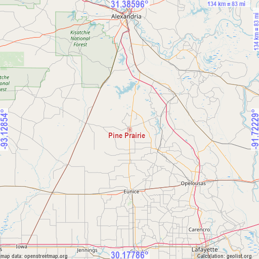
Pine Prairie GPS coordinates[2]
30° 47' 1.716" North, 92° 25' 31.476" West
| Map corner | latitude | longitude |
|---|---|---|
| Upper-left | 31.38596°, | -93.12854° |
| Center: | 30.78381°, | -92.42541° |
| Lower-right: | 30.17786°, | -91.72229° |
| Map W x H: | 134.3×134.3 km | = 83.5×83.5mi |
| max Lat: | 71.29058° ⇑91.1% North |
| Pine Prairie: | 30.78381° |
| min Lat: | ⇓8.9% South 19.06759° |
| min Long | Pine Prairie | max Long |
| -171.73463° | -92.42541° | -66.98998° |
| W 35%⇐ | ⇒65% E |
Elevation
Elevation of Pine Prairie is 37 m = 121 ft, and this is 257.8 m = 846 ft below average elevation for this country.
| Max E: |
3189 m = 10463 ft | 82.3% |
| Avg. | 294.8 m = 967 ft | |
| Pine Prairie | 37 m = 121 ft | |
Min E: |
-60 m = -197 ft | 17.7% |
See also: United States elevation on elevation.city.
Geographical zone
Pine Prairie is located in North temperate zone (between Tropic of Cancer and the Arctic Circle). Distance of this Northern Tropic circle is 816.9 km =507.6 mi to South.| Distance of | km | miles | from Pine Prairie |
|---|---|---|---|
| North Pole | 6584.2 | 4091.2 | to North |
| Arctic Circle | 3978.3 | 2472 | to North |
| Tropic Cancer | 816.9 | 507.6 | to South |
| Equator | 3422.8 | 2126.8 | to South |


Nearby cities:
15 places around Pine Prairie: (largest is in red/bold)
• Basile
37 km =23 mi,  206°
206°
• Bunkie
29.9 km =18.6 mi,  50°
50°
• Cheneyville
28.9 km =18 mi,  27°
27°
• Elizabeth
36.3 km =22.6 mi,  285°
285°
• Eunice
32.2 km =20 mi,  178°
178°
• Forest Hill
30.4 km =18.9 mi,  340°
340°
• Glenmora
26.3 km =16.3 mi,  324°
324°
• Lawtell
37.4 km =23.2 mi,  142°
142°
• Lecompte
34.6 km =21.5 mi,  3°
3°
• Mamou
16.7 km =10.4 mi, 177°
• Oakdale
22.7 km =14.1 mi,  279°
279°
• Oberlin
37 km =23 mi,  240°
240°
• Reddell
12.2 km =7.6 mi, 180°
• Ville Platte
18.2 km =11.3 mi,  125°
125°
• Washington
39.8 km =24.7 mi,  117°
117°
Sources, notices
• [Note1] Compared only with cities in United States existing in our database
• [Src1] Map data: © OpenStreetMap contributors (CC-BY-SA)
• [Src2] Other city data from geonames.org with taken over terms of usage.
• [Src3] Geographical zone / Annual Mean Temperature by Robert A. Rohde @ Wikipedia
