Florissant geodata
Florissant (Missouri) is a populated place; located in United States in America/Chicago (GMT-5) time zone. With population of 52,268 people, there are 900 cities with bigger population in this country. Compared to other cities in United States, 56.6% of cities are located further ↑North; 60.1% of cities are located further →East and 56% of cities have higher elevation than Florissant. Note1
Administrative division(s):
- Level 1: Missouri
- Level 2: Saint Louis County
- Level 3: Township of Florissant


Florissant GPS coordinates[2]
38° 47' 21.192" North, 90° 19' 21.396" West
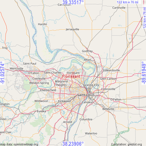
| Map corner | latitude | longitude |
|---|---|---|
| Upper-left | 39.33517°, | -91.02574° |
| Center: | 38.78922°, | -90.32261° |
| Lower-right: | 38.23906°, | -89.61949° |
| Map W x H: | 121.9×121.9 km | = 75.7×75.7mi |
| max Lat: | 71.29058° ⇑56.6% North |
| Florissant: | 38.78922° |
| min Lat: | ⇓43.4% South 19.06759° |
| min Long | Florissant | max Long |
| -171.73463° | -90.32261° | -66.98998° |
| W 39.9%⇐ | ⇒60.1% E |
Elevation
Elevation of Florissant is 176 m = 577 ft, and this is 118.8 m = 390 ft below average elevation for this country.
| Max E: |
3189 m = 10463 ft | 56% |
| Avg. | 294.8 m = 967 ft | |
| Florissant | 176 m = 577 ft | |
Min E: |
-60 m = -197 ft | 44% |
See also: Florissant elevation on elevation.city.
Geographical zone
Florissant is located in North temperate zone (between Tropic of Cancer and the Arctic Circle). Distance of this Northern Tropic circle is 1707 km =1060.7 mi to South.| Distance of | km | miles | from Florissant |
|---|---|---|---|
| North Pole | 5694.1 | 3538.1 | to North |
| Arctic Circle | 3088.2 | 1918.9 | to North |
| Tropic Cancer | 1707 | 1060.7 | to South |
| Equator | 4313 | 2680 | to South |


Nearby cities:
15 places around Florissant: (largest is in red/bold)
• Berkeley
3.9 km =2.4 mi,  190°
190°
• Black Jack
4.8 km =3 mi,  84°
84°
• Bridgeton
8.1 km =5 mi,  252°
252°
• Calverton Park
2.8 km =1.7 mi,  164°
164°
• Castle Point
7.3 km =4.5 mi,  118°
118°
• Cool Valley
6.9 km =4.3 mi,  170°
170°
• Dellwood
5.5 km =3.4 mi,  144°
144°
• Edmundson
6.9 km =4.3 mi,  211°
211°
• Ferguson
5.2 km =3.2 mi, 163°
• Hazelwood
4.6 km =2.9 mi,  244°
244°
• Normandy
7.9 km =4.9 mi, 163°
• Norwood Court
8.3 km =5.2 mi, 161°
• Old Jamestown
6 km =3.7 mi,  32°
32°
• Saint John
8.5 km =5.3 mi, 193°
• Woodson Terrace
7.8 km =4.8 mi,  203°
203°
Sources, notices
• [Note1] Compared only with cities in United States existing in our database
• [Src1] Map data: © OpenStreetMap contributors (CC-BY-SA)
• [Src2] Other city data from geonames.org with taken over terms of usage.
• [Src3] Geographical zone / Annual Mean Temperature by Robert A. Rohde @ Wikipedia
