Higbee geodata
Higbee (Missouri) is a populated place; located in United States in America/Chicago (GMT-5) time zone. With population of 554 people, there are 20228 cities with bigger population in this country. Compared to other cities in United States, 52.2% of cities are located further ↑North; 65.2% of cities are located further →East and 66.7% of cities have lower elevation than Higbee. Note1
Administrative division(s):
- Level 1: Missouri
- Level 2: Randolph County
- Level 3: Township of Moniteau


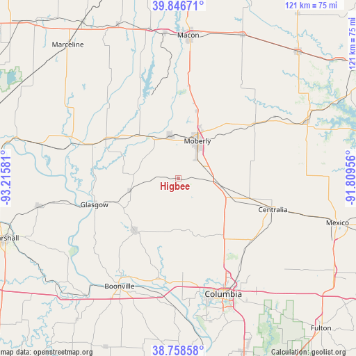
Higbee GPS coordinates[2]
39° 18' 17.136" North, 92° 30' 45.648" West
| Map corner | latitude | longitude |
|---|---|---|
| Upper-left | 39.84671°, | -93.21581° |
| Center: | 39.30476°, | -92.51268° |
| Lower-right: | 38.75858°, | -91.80956° |
| Map W x H: | 121×121 km | = 75.2×75.2mi |
| max Lat: | 71.29058° ⇑52.2% North |
| Higbee: | 39.30476° |
| min Lat: | ⇓47.8% South 19.06759° |
| min Long | Higbee | max Long |
| -171.73463° | -92.51268° | -66.98998° |
| W 34.8%⇐ | ⇒65.2% E |
Elevation
Elevation of Higbee is 270 m = 886 ft, and this is 24.8 m = 81 ft below average elevation for this country.
| Max E: |
3189 m = 10463 ft | 33.3% |
| Avg. | 294.8 m = 967 ft | |
| Higbee | 270 m = 886 ft | |
Min E: |
-60 m = -197 ft | 66.7% |
See also: United States elevation on elevation.city.
Geographical zone
Higbee is located in North temperate zone (between Tropic of Cancer and the Arctic Circle). Distance of this Northern Tropic circle is 1764.4 km =1096.3 mi to South.| Distance of | km | miles | from Higbee |
|---|---|---|---|
| North Pole | 5636.8 | 3502.5 | to North |
| Arctic Circle | 3030.9 | 1883.3 | to North |
| Tropic Cancer | 1764.4 | 1096.3 | to South |
| Equator | 4370.3 | 2715.6 | to South |


Nearby cities:
15 places around Higbee: (largest is in red/bold)
• Boonville
41.8 km =26 mi,  208°
208°
• Centralia
33.9 km =21.1 mi,  108°
108°
• Columbia
42.2 km =26.2 mi,  158°
158°
• Fayette
23 km =14.3 mi,  219°
219°
• Glasgow
30 km =18.6 mi,  253°
253°
• Hallsville
32.7 km =20.3 mi,  129°
129°
• Huntsville
15.4 km =9.6 mi,  349°
349°
• Keytesville
39.3 km =24.4 mi,  291°
291°
• Macon
48.8 km =30.3 mi,  4°
4°
• Madison
32.1 km =19.9 mi,  54°
54°
• Moberly
14.2 km =8.8 mi,  26°
26°
• New Franklin
37.4 km =23.2 mi, 211°
• Paris
48.1 km =29.9 mi,  65°
65°
• Salisbury
28.1 km =17.5 mi,  298°
298°
• Sturgeon
21.5 km =13.4 mi, 111°
Sources, notices
• [Note1] Compared only with cities in United States existing in our database
• [Src1] Map data: © OpenStreetMap contributors (CC-BY-SA)
• [Src2] Other city data from geonames.org with taken over terms of usage.
• [Src3] Geographical zone / Annual Mean Temperature by Robert A. Rohde @ Wikipedia
