D'Iberville geodata
D'Iberville (Mississippi) is a populated place; located in United States in America/Chicago (GMT-5) time zone. With population of 11,400 people, there are 4055 cities with bigger population in this country. Compared to other cities in United States, 92.1% of cities are located further ↑North; 55.8% of cities are located further →East and 98.1% of cities have higher elevation than D'Iberville. Note1


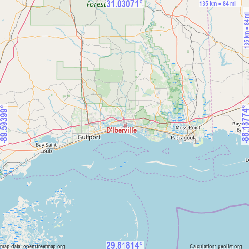
D'Iberville GPS coordinates[2]
30° 25' 34.716" North, 88° 53' 27.096" West
| Map corner | latitude | longitude |
|---|---|---|
| Upper-left | 31.03071°, | -89.59399° |
| Center: | 30.42631°, | -88.89086° |
| Lower-right: | 29.81814°, | -88.18774° |
| Map W x H: | 134.8×134.8 km | = 83.8×83.8mi |
| max Lat: | 71.29058° ⇑92.1% North |
| D'Iberville: | 30.42631° |
| min Lat: | ⇓7.9% South 19.06759° |
| min Long | D'Iberville | max Long |
| -171.73463° | -88.89086° | -66.98998° |
| W 44.2%⇐ | ⇒55.8% E |
Elevation
Elevation of D'Iberville is 5 m = 16 ft, and this is 289.8 m = 951 ft below average elevation for this country.
| Max E: |
3189 m = 10463 ft | 98.1% |
| Avg. | 294.8 m = 967 ft | |
| D'Iberville | 5 m = 16 ft | |
Min E: |
-60 m = -197 ft | 1.9% |
See also: United States elevation on elevation.city.
Geographical zone
D'Iberville is located in North temperate zone (between Tropic of Cancer and the Arctic Circle). Distance of this Northern Tropic circle is 777.2 km =482.9 mi to South.| Distance of | km | miles | from D'Iberville |
|---|---|---|---|
| North Pole | 6624 | 4116 | to North |
| Arctic Circle | 4018.1 | 2496.7 | to North |
| Tropic Cancer | 777.2 | 482.9 | to South |
| Equator | 3383.1 | 2102.2 | to South |


Nearby cities:
15 places around D'Iberville: (largest is in red/bold)
• Biloxi
3.4 km =2.1 mi,  171°
171°
• Gautier
27.1 km =16.8 mi,  99°
99°
• Gulf Hills
4.7 km =2.9 mi,  84°
84°
• Gulf Park Estates
13 km =8.1 mi,  107°
107°
• Gulfport
20.4 km =12.7 mi,  251°
251°
• Hickory Hills
24.4 km =15.2 mi, 81°
• Latimer
12.3 km =7.6 mi,  10°
10°
• Long Beach
26.5 km =16.5 mi, 251°
• Lyman
23.8 km =14.8 mi,  288°
288°
• Ocean Springs
6.3 km =3.9 mi, 105°
• Pascagoula
32.8 km =20.4 mi, 101°
• Saint Martin
2.5 km =1.6 mi,  59°
59°
• Saucier
33 km =20.5 mi,  314°
314°
• Vancleave
23.3 km =14.5 mi, 56°
• West Gulfport
19.7 km =12.2 mi,  262°
262°
Sources, notices
• [Note1] Compared only with cities in United States existing in our database
• [Src1] Map data: © OpenStreetMap contributors (CC-BY-SA)
• [Src2] Other city data from geonames.org with taken over terms of usage.
• [Src3] Geographical zone / Annual Mean Temperature by Robert A. Rohde @ Wikipedia
