West Gulfport geodata
West Gulfport (Mississippi) is a populated place; located in United States in America/Chicago (GMT-5) time zone. With population of 71,329 people, there are 580 cities with bigger population in this country. Compared to other cities in United States, 92.2% of cities are located further ↑North; 56.4% of cities are located further →East and 93.9% of cities have higher elevation than West Gulfport. Note1


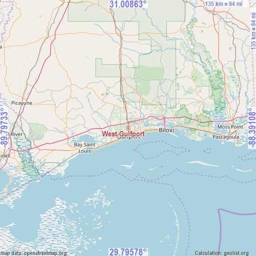
West Gulfport GPS coordinates[2]
30° 24' 14.724" North, 89° 5' 39.12" West
| Map corner | latitude | longitude |
|---|---|---|
| Upper-left | 31.00863°, | -89.79733° |
| Center: | 30.40409°, | -89.0942° |
| Lower-right: | 29.79578°, | -88.39108° |
| Map W x H: | 134.9×134.9 km | = 83.8×83.8mi |
| max Lat: | 71.29058° ⇑92.2% North |
| West Gulfport: | 30.40409° |
| min Lat: | ⇓7.8% South 19.06759° |
| min Long | West Gulfport | max Long |
| -171.73463° | -89.0942° | -66.98998° |
| W 43.6%⇐ | ⇒56.4% E |
Elevation
Elevation of West Gulfport is 10 m = 33 ft, and this is 284.8 m = 934 ft below average elevation for this country.
| Max E: |
3189 m = 10463 ft | 93.9% |
| Avg. | 294.8 m = 967 ft | |
| West Gulfport | 10 m = 33 ft | |
Min E: |
-60 m = -197 ft | 6.1% |
See also: West Gulfport elevation on elevation.city.
Geographical zone
West Gulfport is located in North temperate zone (between Tropic of Cancer and the Arctic Circle). Distance of this Northern Tropic circle is 774.7 km =481.4 mi to South.| Distance of | km | miles | from West Gulfport |
|---|---|---|---|
| North Pole | 6626.4 | 4117.5 | to North |
| Arctic Circle | 4020.6 | 2498.3 | to North |
| Tropic Cancer | 774.7 | 481.4 | to South |
| Equator | 3380.6 | 2100.6 | to South |


Nearby cities:
15 places around West Gulfport: (largest is in red/bold)
• Bay Saint Louis
25 km =15.5 mi,  244°
244°
• Biloxi
20.1 km =12.5 mi,  92°
92°
• D'Iberville
19.7 km =12.2 mi,  82°
82°
• De Lisle
16.6 km =10.3 mi,  260°
260°
• Diamondhead
25.9 km =16.1 mi,  267°
267°
• Gulf Hills
24.3 km =15.1 mi, 83°
• Gulfport
4.1 km =2.5 mi,  178°
178°
• Latimer
26.2 km =16.3 mi,  56°
56°
• Long Beach
8.2 km =5.1 mi,  223°
223°
• Lyman
10.5 km =6.5 mi,  343°
343°
• Ocean Springs
25.6 km =15.9 mi, 88°
• Pass Christian
17.7 km =11 mi, 236°
• Saint Martin
22 km =13.7 mi, 80°
• Saucier
26.1 km =16.2 mi,  351°
351°
• Waveland
30 km =18.6 mi, 244°
Sources, notices
• [Note1] Compared only with cities in United States existing in our database
• [Src1] Map data: © OpenStreetMap contributors (CC-BY-SA)
• [Src2] Other city data from geonames.org with taken over terms of usage.
• [Src3] Geographical zone / Annual Mean Temperature by Robert A. Rohde @ Wikipedia
