Greenville geodata
Greenville (Mississippi) is a seat of a second-order administrative division; located in United States in America/Chicago (GMT-5) time zone. With population of 32,156 people, there are 1554 cities with bigger population in this country. Compared to other cities in United States, 83.6% of cities are located further ↑North; 62.2% of cities are located further →East and 82.9% of cities have higher elevation than Greenville. Note1


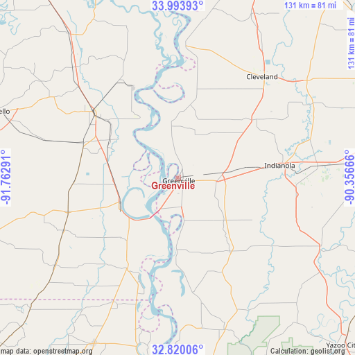
Greenville GPS coordinates[2]
33° 24' 32.328" North, 91° 3' 35.208" West
| Map corner | latitude | longitude |
|---|---|---|
| Upper-left | 33.99393°, | -91.76291° |
| Center: | 33.40898°, | -91.05978° |
| Lower-right: | 32.82006°, | -90.35666° |
| Map W x H: | 130.5×130.5 km | = 81.1×81.1mi |
| max Lat: | 71.29058° ⇑83.6% North |
| Greenville: | 33.40898° |
| min Lat: | ⇓16.4% South 19.06759° |
| min Long | Greenville | max Long |
| -171.73463° | -91.05978° | -66.98998° |
| W 37.8%⇐ | ⇒62.2% E |
Elevation
Elevation of Greenville is 35 m = 115 ft, and this is 259.8 m = 852 ft below average elevation for this country.
| Max E: |
3189 m = 10463 ft | 82.9% |
| Avg. | 294.8 m = 967 ft | |
| Greenville | 35 m = 115 ft | |
Min E: |
-60 m = -197 ft | 17.1% |
See also: United States elevation on elevation.city.
Geographical zone
Greenville is located in North temperate zone (between Tropic of Cancer and the Arctic Circle). Distance of this Northern Tropic circle is 1108.8 km =689 mi to South.| Distance of | km | miles | from Greenville |
|---|---|---|---|
| North Pole | 6292.3 | 3909.9 | to North |
| Arctic Circle | 3686.4 | 2290.6 | to North |
| Tropic Cancer | 1108.8 | 689 | to South |
| Equator | 3714.7 | 2308.2 | to South |


Nearby cities:
15 places around Greenville: (largest is in red/bold)
• Arkansas City
26.1 km =16.2 mi,  328°
328°
• Boyle
45.1 km =28 mi,  43°
43°
• Cleveland
48.5 km =30.1 mi, 39°
• Dermott
37.2 km =23.1 mi,  290°
290°
• Eudora
38.2 km =23.7 mi,  209°
209°
• Hollandale
32.8 km =20.4 mi,  144°
144°
• Indianola
37.8 km =23.5 mi,  82°
82°
• Inverness
43.8 km =27.2 mi,  98°
98°
• Isola
46.4 km =28.8 mi,  110°
110°
• Lake Village
22.5 km =14 mi,  246°
246°
• Leland
15.1 km =9.4 mi,  91°
91°
• McGehee
39.9 km =24.8 mi,  307°
307°
• Metcalfe
7 km =4.3 mi, 44°
• Rosedale
49.5 km =30.8 mi,  3°
3°
• Shaw
34.1 km =21.2 mi,  50°
50°
Sources, notices
• [Note1] Compared only with cities in United States existing in our database
• [Src1] Map data: © OpenStreetMap contributors (CC-BY-SA)
• [Src2] Other city data from geonames.org with taken over terms of usage.
• [Src3] Geographical zone / Annual Mean Temperature by Robert A. Rohde @ Wikipedia
