Erwin geodata
Erwin (North Carolina) is a populated place; located in United States in America/New_York (GMT-4) time zone. With population of 4,679 people, there are 7458 cities with bigger population in this country. Compared to other cities in United States, 73.5% of cities are located further ↑North; 76.6% of cities are located further ←West and 77.1% of cities have higher elevation than Erwin. Note1
Administrative division(s):
- Level 1: North Carolina
- Level 2: Harnett County
- Level 3: Township of Duke


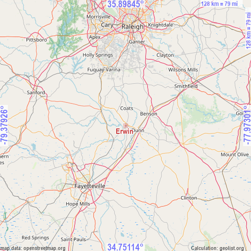
Erwin GPS coordinates[2]
35° 19' 36.588" North, 78° 40' 34.068" West
| Map corner | latitude | longitude |
|---|---|---|
| Upper-left | 35.89845°, | -79.37926° |
| Center: | 35.32683°, | -78.67613° |
| Lower-right: | 34.75114°, | -77.97301° |
| Map W x H: | 127.6×127.6 km | = 79.3×79.3mi |
| max Lat: | 71.29058° ⇑73.5% North |
| Erwin: | 35.32683° |
| min Lat: | ⇓26.5% South 19.06759° |
| min Long | Erwin | max Long |
| -171.73463° | -78.67613° | -66.98998° |
| W 76.6%⇐ | ⇒23.4% E |
Elevation
Elevation of Erwin is 60 m = 197 ft, and this is 234.8 m = 770 ft below average elevation for this country.
| Max E: |
3189 m = 10463 ft | 77.1% |
| Avg. | 294.8 m = 967 ft | |
| Erwin | 60 m = 197 ft | |
Min E: |
-60 m = -197 ft | 22.9% |
See also: United States elevation on elevation.city.
Geographical zone
Erwin is located in North temperate zone (between Tropic of Cancer and the Arctic Circle). Distance of this Northern Tropic circle is 1322.1 km =821.5 mi to South.| Distance of | km | miles | from Erwin |
|---|---|---|---|
| North Pole | 6079.1 | 3777.4 | to North |
| Arctic Circle | 3473.2 | 2158.1 | to North |
| Tropic Cancer | 1322.1 | 821.5 | to South |
| Equator | 3928 | 2440.7 | to South |


Nearby cities:
15 places around Erwin: (largest is in red/bold)
• Angier
20.8 km =12.9 mi,  344°
344°
• Benson
13.1 km =8.1 mi,  62°
62°
• Buies Creek
11 km =6.8 mi,  330°
330°
• Bunnlevel
9.6 km =6 mi,  258°
258°
• Coats
9 km =5.6 mi,  2°
2°
• Dunn
6.5 km =4 mi,  110°
110°
• Eastover
27.6 km =17.1 mi,  204°
204°
• Four Oaks
26.1 km =16.2 mi, 59°
• Lillington
15 km =9.3 mi,  302°
302°
• Mamers
25.4 km =15.8 mi,  293°
293°
• Newton Grove
30.6 km =19 mi, 107°
• Plain View
14 km =8.7 mi,  128°
128°
• Spiveys Corner
22.5 km =14 mi, 130°
• Wade
19 km =11.8 mi, 196°
• Walkertown
13.3 km =8.3 mi,  249°
249°
Sources, notices
• [Note1] Compared only with cities in United States existing in our database
• [Src1] Map data: © OpenStreetMap contributors (CC-BY-SA)
• [Src2] Other city data from geonames.org with taken over terms of usage.
• [Src3] Geographical zone / Annual Mean Temperature by Robert A. Rohde @ Wikipedia
