Light Oak geodata
Light Oak (North Carolina) is a populated place; located in United States in America/New_York (GMT-4) time zone. With population of 691 people, there are 18770 cities with bigger population in this country. Compared to other cities in United States, 73.7% of cities are located further ↑North; 67.7% of cities are located further ←West and 63.3% of cities have lower elevation than Light Oak. Note1


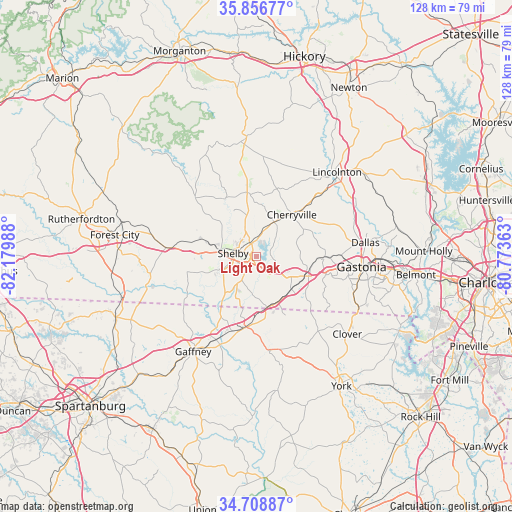
Light Oak GPS coordinates[2]
35° 17' 5.46" North, 81° 28' 36.3" West
| Map corner | latitude | longitude |
|---|---|---|
| Upper-left | 35.85677°, | -82.17988° |
| Center: | 35.28485°, | -81.47675° |
| Lower-right: | 34.70887°, | -80.77363° |
| Map W x H: | 127.6×127.6 km | = 79.3×79.3mi |
| max Lat: | 71.29058° ⇑73.7% North |
| Light Oak: | 35.28485° |
| min Lat: | ⇓26.3% South 19.06759° |
| min Long | Light Oak | max Long |
| -171.73463° | -81.47675° | -66.98998° |
| W 67.7%⇐ | ⇒32.3% E |
Elevation
Elevation of Light Oak is 254 m = 833 ft, and this is 40.8 m = 134 ft below average elevation for this country.
| Max E: |
3189 m = 10463 ft | 36.7% |
| Avg. | 294.8 m = 967 ft | |
| Light Oak | 254 m = 833 ft | |
Min E: |
-60 m = -197 ft | 63.3% |
See also: United States elevation on elevation.city.
Geographical zone
Light Oak is located in North temperate zone (between Tropic of Cancer and the Arctic Circle). Distance of this Northern Tropic circle is 1317.4 km =818.6 mi to South.| Distance of | km | miles | from Light Oak |
|---|---|---|---|
| North Pole | 6083.8 | 3780.3 | to North |
| Arctic Circle | 3477.9 | 2161.1 | to North |
| Tropic Cancer | 1317.4 | 818.6 | to South |
| Equator | 3923.3 | 2437.8 | to South |


Nearby cities:
15 places around Light Oak: (largest is in red/bold)
• Belwood
21.8 km =13.5 mi,  348°
348°
• Bessemer City
17.5 km =10.9 mi,  89°
89°
• Blacksburg
18.5 km =11.5 mi,  191°
191°
• Boiling Springs
17.6 km =10.9 mi,  258°
258°
• Cherryville
13.7 km =8.5 mi,  40°
40°
• Fallston
16.2 km =10.1 mi, 352°
• Grover
12.5 km =7.8 mi,  168°
168°
• Kings Mountain
13.1 km =8.1 mi,  109°
109°
• Kingstown
14.3 km =8.9 mi,  300°
300°
• Lawndale
16.4 km =10.2 mi,  331°
331°
• Patterson Springs
6.5 km =4 mi,  211°
211°
• Polkville
21.1 km =13.1 mi,  314°
314°
• Shelby
5.4 km =3.4 mi,  278°
278°
• Tryon
15.3 km =9.5 mi,  66°
66°
• White Plains
9.1 km =5.7 mi,  128°
128°
Sources, notices
• [Note1] Compared only with cities in United States existing in our database
• [Src1] Map data: © OpenStreetMap contributors (CC-BY-SA)
• [Src2] Other city data from geonames.org with taken over terms of usage.
• [Src3] Geographical zone / Annual Mean Temperature by Robert A. Rohde @ Wikipedia
