Kettering geodata
Kettering (Ohio) is a populated place; located in United States in America/New_York (GMT-4) time zone. With population of 55,525 people, there are 828 cities with bigger population in this country. Compared to other cities in United States, 50.6% of cities are located further ↓South; 58.8% of cities are located further ←West and 74% of cities have lower elevation than Kettering. Note1


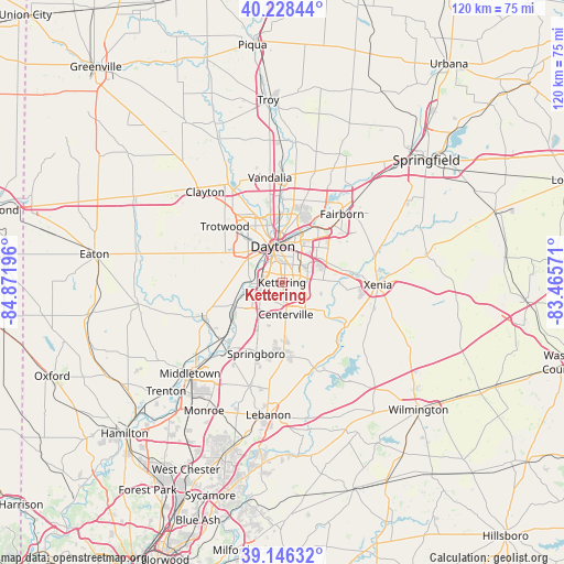
Kettering GPS coordinates[2]
39° 41' 22.2" North, 84° 10' 7.788" West
| Map corner | latitude | longitude |
|---|---|---|
| Upper-left | 40.22844°, | -84.87196° |
| Center: | 39.6895°, | -84.16883° |
| Lower-right: | 39.14632°, | -83.46571° |
| Map W x H: | 120.3×120.3 km | = 74.8×74.8mi |
| max Lat: | 71.29058° ⇑49.4% North |
| Kettering: | 39.6895° |
| min Lat: | ⇓50.6% South 19.06759° |
| min Long | Kettering | max Long |
| -171.73463° | -84.16883° | -66.98998° |
| W 58.8%⇐ | ⇒41.2% E |
Elevation
Elevation of Kettering is 307 m = 1007 ft, and this is 12.2 m = 40 ft above average elevation for this country.
| Max E: |
3189 m = 10463 ft | 26% |
| Kettering | 307 m 1007 ft | |
| Avg. | 294.8 m = 967 ft | |
Min E: |
-60 m = -197 ft | 74% |
See also: Kettering elevation on elevation.city.
Geographical zone
Kettering is located in North temperate zone (between Tropic of Cancer and the Arctic Circle). Distance of this Northern Tropic circle is 1807.1 km =1122.9 mi to South.| Distance of | km | miles | from Kettering |
|---|---|---|---|
| North Pole | 5594 | 3475.9 | to North |
| Arctic Circle | 2988.1 | 1856.7 | to North |
| Tropic Cancer | 1807.1 | 1122.9 | to South |
| Equator | 4413.1 | 2742.2 | to South |


Nearby cities:
15 places around Kettering: (largest is in red/bold)
• Beavercreek
9.3 km =5.8 mi,  76°
76°
• Bellbrook
10.3 km =6.4 mi,  125°
125°
• Belmont
5.1 km =3.2 mi,  29°
29°
• Centerville
6.8 km =4.2 mi,  173°
173°
• Dayton
8 km =5 mi,  345°
345°
• Drexel
11.9 km =7.4 mi,  302°
302°
• Five Points
13.6 km =8.5 mi,  188°
188°
• Fort McKinley
14 km =8.7 mi,  328°
328°
• Miamisburg
11.3 km =7 mi,  242°
242°
• Moraine
4.7 km =2.9 mi,  293°
293°
• Northridge
13.3 km =8.3 mi, 349°
• Oakwood
4 km =2.5 mi, 353°
• Riverside
10.7 km =6.6 mi,  20°
20°
• Shiloh
15.2 km =9.4 mi,  340°
340°
• West Carrollton City
7.4 km =4.6 mi,  254°
254°
Sources, notices
• [Note1] Compared only with cities in United States existing in our database
• [Src1] Map data: © OpenStreetMap contributors (CC-BY-SA)
• [Src2] Other city data from geonames.org with taken over terms of usage.
• [Src3] Geographical zone / Annual Mean Temperature by Robert A. Rohde @ Wikipedia
