Sumter geodata
Sumter (South Carolina) is a seat of a second-order administrative division; located in United States in America/New_York (GMT-4) time zone. With population of 40,816 people, there are 1183 cities with bigger population in this country. Compared to other cities in United States, 80.8% of cities are located further ↑North; 71.5% of cities are located further ←West and 78.4% of cities have higher elevation than Sumter. Note1


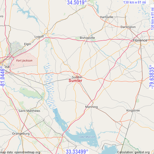
Sumter GPS coordinates[2]
33° 55' 13.584" North, 80° 20' 29.292" West
| Map corner | latitude | longitude |
|---|---|---|
| Upper-left | 34.5019°, | -81.0446° |
| Center: | 33.92044°, | -80.34147° |
| Lower-right: | 33.33499°, | -79.63835° |
| Map W x H: | 129.7×129.7 km | = 80.6×80.6mi |
| max Lat: | 71.29058° ⇑80.8% North |
| Sumter: | 33.92044° |
| min Lat: | ⇓19.2% South 19.06759° |
| min Long | Sumter | max Long |
| -171.73463° | -80.34147° | -66.98998° |
| W 71.5%⇐ | ⇒28.5% E |
Elevation
Elevation of Sumter is 54 m = 177 ft, and this is 240.8 m = 790 ft below average elevation for this country.
| Max E: |
3189 m = 10463 ft | 78.4% |
| Avg. | 294.8 m = 967 ft | |
| Sumter | 54 m = 177 ft | |
Min E: |
-60 m = -197 ft | 21.6% |
See also: Sumter elevation on elevation.city.
Geographical zone
Sumter is located in North temperate zone (between Tropic of Cancer and the Arctic Circle). Distance of this Northern Tropic circle is 1165.7 km =724.3 mi to South.| Distance of | km | miles | from Sumter |
|---|---|---|---|
| North Pole | 6235.5 | 3874.6 | to North |
| Arctic Circle | 3629.6 | 2255.3 | to North |
| Tropic Cancer | 1165.7 | 724.3 | to South |
| Equator | 3771.6 | 2343.6 | to South |


Nearby cities:
15 places around Sumter: (largest is in red/bold)
• Cane Savannah
10.3 km =6.4 mi,  258°
258°
• Cherryvale
11.5 km =7.1 mi,  290°
290°
• Dalzell
13.5 km =8.4 mi,  322°
322°
• East Sumter
4.2 km =2.6 mi,  82°
82°
• Lakewood
8.2 km =5.1 mi,  185°
185°
• Mayesville
14.4 km =8.9 mi,  58°
58°
• Millwood
3.6 km =2.2 mi, 256°
• Mulberry
3.6 km =2.2 mi,  12°
12°
• Oakland
15.2 km =9.4 mi,  297°
297°
• Pinewood
23 km =14.3 mi,  209°
209°
• Privateer
11.8 km =7.3 mi, 214°
• South Sumter
1.7 km =1.1 mi, 194°
• Stateburg
18.3 km =11.4 mi,  283°
283°
• Wedgefield
16.6 km =10.3 mi, 259°
• Wedgewood
16.3 km =10.1 mi, 255°
Sources, notices
• [Note1] Compared only with cities in United States existing in our database
• [Src1] Map data: © OpenStreetMap contributors (CC-BY-SA)
• [Src2] Other city data from geonames.org with taken over terms of usage.
• [Src3] Geographical zone / Annual Mean Temperature by Robert A. Rohde @ Wikipedia
