Farmville geodata
Farmville (Virginia) is a seat of a second-order administrative division; located in United States in America/New_York (GMT-4) time zone. With population of 8,169 people, there are 5207 cities with bigger population in this country. Compared to other cities in United States, 64.9% of cities are located further ↑North; 77.1% of cities are located further ←West and 70.6% of cities have higher elevation than Farmville. Note1


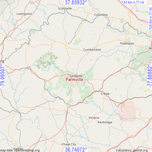
Farmville GPS coordinates[2]
37° 18' 7.56" North, 78° 23' 30.984" West
| Map corner | latitude | longitude |
|---|---|---|
| Upper-left | 37.85932°, | -79.09507° |
| Center: | 37.3021°, | -78.39194° |
| Lower-right: | 36.74072°, | -77.68882° |
| Map W x H: | 124.4×124.4 km | = 77.3×77.3mi |
| max Lat: | 71.29058° ⇑64.9% North |
| Farmville: | 37.3021° |
| min Lat: | ⇓35.1% South 19.06759° |
| min Long | Farmville | max Long |
| -171.73463° | -78.39194° | -66.98998° |
| W 77.1%⇐ | ⇒22.9% E |
Elevation
Elevation of Farmville is 97 m = 318 ft, and this is 197.8 m = 649 ft below average elevation for this country.
| Max E: |
3189 m = 10463 ft | 70.6% |
| Avg. | 294.8 m = 967 ft | |
| Farmville | 97 m = 318 ft | |
Min E: |
-60 m = -197 ft | 29.4% |
See also: United States elevation on elevation.city.
Geographical zone
Farmville is located in North temperate zone (between Tropic of Cancer and the Arctic Circle). Distance of this Northern Tropic circle is 1541.7 km =958 mi to South.| Distance of | km | miles | from Farmville |
|---|---|---|---|
| North Pole | 5859.5 | 3640.9 | to North |
| Arctic Circle | 3253.6 | 2021.7 | to North |
| Tropic Cancer | 1541.7 | 958 | to South |
| Equator | 4147.6 | 2577.2 | to South |


Nearby cities:
15 places around Farmville: (largest is in red/bold)
• Amelia Court House
36.7 km =22.8 mi,  82°
82°
• Appomattox
38.8 km =24.1 mi,  279°
279°
• Blackstone
42.8 km =26.6 mi,  125°
125°
• Buckingham
31.1 km =19.3 mi,  332°
332°
• Charlotte Court House
35 km =21.7 mi,  218°
218°
• Crewe
27.8 km =17.3 mi,  121°
121°
• Cumberland
25.2 km =15.7 mi,  31°
31°
• Drakes Branch
39.1 km =24.3 mi,  208°
208°
• Hampden Sydney
8.9 km =5.5 mi, 222°
• Kenbridge
44.6 km =27.7 mi,  147°
147°
• Keysville
30.2 km =18.8 mi,  195°
195°
• Lunenburg
39.5 km =24.5 mi,  163°
163°
• Powhatan
49.6 km =30.8 mi,  57°
57°
• Victoria
37.1 km =23.1 mi, 156°
• Weber City
51.3 km =31.9 mi,  10°
10°
Sources, notices
• [Note1] Compared only with cities in United States existing in our database
• [Src1] Map data: © OpenStreetMap contributors (CC-BY-SA)
• [Src2] Other city data from geonames.org with taken over terms of usage.
• [Src3] Geographical zone / Annual Mean Temperature by Robert A. Rohde @ Wikipedia
