Orangeville geodata
Orangeville (Illinois) is a populated place; located in United States in America/Chicago (GMT-5) time zone. With population of 756 people, there are 18168 cities with bigger population in this country. Compared to other cities in United States, 79.5% of cities are located further ↓South; 58% of cities are located further →East and 62.6% of cities have lower elevation than Orangeville. Note1


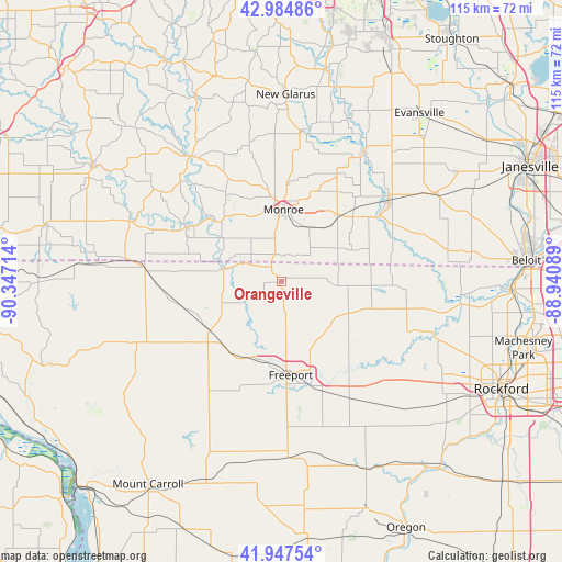
Orangeville GPS coordinates[2]
42° 28' 6.06" North, 89° 38' 38.436" West
| Map corner | latitude | longitude |
|---|---|---|
| Upper-left | 42.98486°, | -90.34714° |
| Center: | 42.46835°, | -89.64401° |
| Lower-right: | 41.94754°, | -88.94089° |
| Map W x H: | 115.3×115.3 km | = 71.6×71.6mi |
| max Lat: | 71.29058° ⇑20.5% North |
| Orangeville: | 42.46835° |
| min Lat: | ⇓79.5% South 19.06759° |
| min Long | Orangeville | max Long |
| -171.73463° | -89.64401° | -66.98998° |
| W 42%⇐ | ⇒58% E |
Elevation
Elevation of Orangeville is 251 m = 823 ft, and this is 43.8 m = 144 ft below average elevation for this country.
| Max E: |
3189 m = 10463 ft | 37.4% |
| Avg. | 294.8 m = 967 ft | |
| Orangeville | 251 m = 823 ft | |
Min E: |
-60 m = -197 ft | 62.6% |
See also: United States elevation on elevation.city.
Geographical zone
Orangeville is located in North temperate zone (between Tropic of Cancer and the Arctic Circle). Distance of this Northern Tropic circle is 2116.1 km =1314.9 mi to South.| Distance of | km | miles | from Orangeville |
|---|---|---|---|
| North Pole | 5285 | 3283.9 | to North |
| Arctic Circle | 2679.1 | 1664.7 | to North |
| Tropic Cancer | 2116.1 | 1314.9 | to South |
| Equator | 4722 | 2934.1 | to South |


Nearby cities:
15 places around Orangeville: (largest is in red/bold)
• Albany
31.6 km =19.6 mi,  32°
32°
• Argyle
31.7 km =19.7 mi,  324°
324°
• Brodhead
27.6 km =17.1 mi,  52°
52°
• Cedarville
10.3 km =6.4 mi,  175°
175°
• Davis
19.6 km =12.2 mi,  105°
105°
• Decatur
26.5 km =16.5 mi, 45°
• Durand
25.8 km =16 mi,  97°
97°
• Freeport
19.2 km =11.9 mi,  174°
174°
• Lake Summerset
20.9 km =13 mi,  94°
94°
• Lena
17.7 km =11 mi,  235°
235°
• Monroe
14.8 km =9.2 mi,  1°
1°
• Monticello
31.1 km =19.3 mi,  7°
7°
• Pearl City
27.1 km =16.8 mi,  213°
213°
• Pecatonica
29 km =18 mi,  126°
126°
• Warren
28.5 km =17.7 mi,  276°
276°
Sources, notices
• [Note1] Compared only with cities in United States existing in our database
• [Src1] Map data: © OpenStreetMap contributors (CC-BY-SA)
• [Src2] Other city data from geonames.org with taken over terms of usage.
• [Src3] Geographical zone / Annual Mean Temperature by Robert A. Rohde @ Wikipedia
