Muncie geodata
Muncie (Indiana) is a seat of a second-order administrative division; located in United States in America/Indiana/Indianapolis (GMT-4) time zone. With population of 70,087 people, there are 593 cities with bigger population in this country. Compared to other cities in United States, 55.5% of cities are located further ↓South; 54.9% of cities are located further ←West and 71.3% of cities have lower elevation than Muncie. Note1


Muncie GPS coordinates[2]
40° 11' 36.168" North, 85° 23' 10.896" West
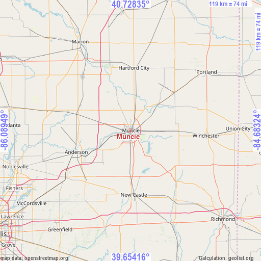
| Map corner | latitude | longitude |
|---|---|---|
| Upper-left | 40.72835°, | -86.08949° |
| Center: | 40.19338°, | -85.38636° |
| Lower-right: | 39.65416°, | -84.68324° |
| Map W x H: | 119.4×119.4 km | = 74.2×74.2mi |
| max Lat: | 71.29058° ⇑44.5% North |
| Muncie: | 40.19338° |
| min Lat: | ⇓55.5% South 19.06759° |
| min Long | Muncie | max Long |
| -171.73463° | -85.38636° | -66.98998° |
| W 54.9%⇐ | ⇒45.1% E |
Elevation
Elevation of Muncie is 292 m = 958 ft, and this is 2.8 m = 9 ft below average elevation for this country.
| Max E: |
3189 m = 10463 ft | 28.7% |
| Avg. | 294.8 m = 967 ft | |
| Muncie | 292 m = 958 ft | |
Min E: |
-60 m = -197 ft | 71.3% |
See also: Muncie elevation on elevation.city.
Geographical zone
Muncie is located in North temperate zone (between Tropic of Cancer and the Arctic Circle). Distance of this Northern Tropic circle is 1863.2 km =1157.7 mi to South.| Distance of | km | miles | from Muncie |
|---|---|---|---|
| North Pole | 5538 | 3441.2 | to North |
| Arctic Circle | 2932.1 | 1821.9 | to North |
| Tropic Cancer | 1863.2 | 1157.7 | to South |
| Equator | 4469.1 | 2777 | to South |


Nearby cities:
15 places around Muncie: (largest is in red/bold)
• Albany
17.1 km =10.6 mi,  45°
45°
• Alexandria
25.8 km =16 mi,  287°
287°
• Anderson
26.8 km =16.7 mi,  248°
248°
• Chesterfield
20 km =12.4 mi,  243°
243°
• Daleville
16.7 km =10.4 mi, 241°
• Dunkirk
25.2 km =15.7 mi,  36°
36°
• Eaton
16.6 km =10.3 mi,  10°
10°
• Farmland
22 km =13.7 mi,  91°
91°
• Gaston
16.5 km =10.3 mi,  324°
324°
• Matthews
23.7 km =14.7 mi,  336°
336°
• Middletown
19.8 km =12.3 mi,  220°
220°
• Parker City
15.5 km =9.6 mi, 91°
• Redkey
26.5 km =16.5 mi, 49°
• Selma
10 km =6.2 mi, 91°
• Yorktown
9.4 km =5.8 mi,  256°
256°
Sources, notices
• [Note1] Compared only with cities in United States existing in our database
• [Src1] Map data: © OpenStreetMap contributors (CC-BY-SA)
• [Src2] Other city data from geonames.org with taken over terms of usage.
• [Src3] Geographical zone / Annual Mean Temperature by Robert A. Rohde @ Wikipedia
