Three Oaks geodata
Three Oaks (Michigan) is a populated place; located in United States in America/Detroit (GMT-4) time zone. With population of 1,579 people, there are 13362 cities with bigger population in this country. Compared to other cities in United States, 73.9% of cities are located further ↓South; 51.3% of cities are located further ←West and 52.5% of cities have lower elevation than Three Oaks. Note1
Administrative division(s):
- Level 1: Michigan
- Level 2: Berrien County
- Level 3: Township of Three Oaks


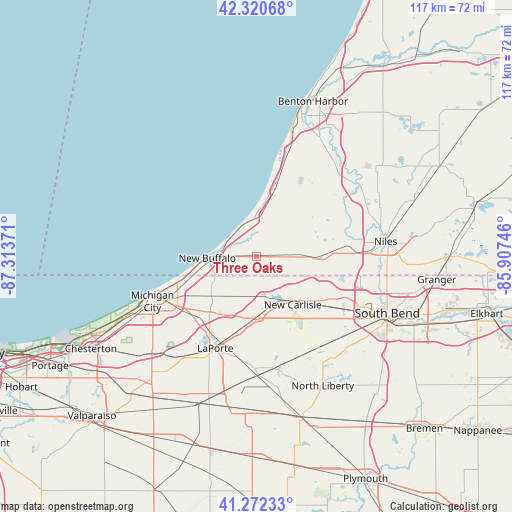
Three Oaks GPS coordinates[2]
41° 47' 55.14" North, 86° 36' 38.088" West
| Map corner | latitude | longitude |
|---|---|---|
| Upper-left | 42.32068°, | -87.31371° |
| Center: | 41.79865°, | -86.61058° |
| Lower-right: | 41.27233°, | -85.90746° |
| Map W x H: | 116.6×116.6 km | = 72.5×72.5mi |
| max Lat: | 71.29058° ⇑26.1% North |
| Three Oaks: | 41.79865° |
| min Lat: | ⇓73.9% South 19.06759° |
| min Long | Three Oaks | max Long |
| -171.73463° | -86.61058° | -66.98998° |
| W 51.3%⇐ | ⇒48.7% E |
Elevation
Elevation of Three Oaks is 208 m = 682 ft, and this is 86.8 m = 285 ft below average elevation for this country.
| Max E: |
3189 m = 10463 ft | 47.5% |
| Avg. | 294.8 m = 967 ft | |
| Three Oaks | 208 m = 682 ft | |
Min E: |
-60 m = -197 ft | 52.5% |
See also: United States elevation on elevation.city.
Geographical zone
Three Oaks is located in North temperate zone (between Tropic of Cancer and the Arctic Circle). Distance of this Northern Tropic circle is 2041.7 km =1268.7 mi to South.| Distance of | km | miles | from Three Oaks |
|---|---|---|---|
| North Pole | 5359.5 | 3330.2 | to North |
| Arctic Circle | 2753.6 | 1711 | to North |
| Tropic Cancer | 2041.7 | 1268.7 | to South |
| Equator | 4647.6 | 2887.9 | to South |


Nearby cities:
15 places around Three Oaks: (largest is in red/bold)
• Baroda
20.5 km =12.7 mi,  30°
30°
• Bridgman
16.7 km =10.4 mi,  15°
15°
• Buchanan
20.9 km =13 mi,  81°
81°
• Galien
9.2 km =5.7 mi,  90°
90°
• Hudson Lake
11.7 km =7.3 mi,  147°
147°
• La Porte
22.9 km =14.2 mi,  201°
201°
• LaPorte
22.9 km =14.2 mi, 203°
• Long Beach
21.5 km =13.4 mi,  251°
251°
• Michigan City
25.7 km =16 mi, 246°
• New Buffalo
11.1 km =6.9 mi,  267°
267°
• New Carlisle
13.8 km =8.6 mi,  142°
142°
• Rolling Prairie
14.2 km =8.8 mi,  181°
181°
• Shorewood-Tower Hills-Harbert
9.2 km =5.7 mi,  358°
358°
• Stevensville
25.2 km =15.7 mi, 17°
• Trail Creek
23.4 km =14.5 mi,  241°
241°
Sources, notices
• [Note1] Compared only with cities in United States existing in our database
• [Src1] Map data: © OpenStreetMap contributors (CC-BY-SA)
• [Src2] Other city data from geonames.org with taken over terms of usage.
• [Src3] Geographical zone / Annual Mean Temperature by Robert A. Rohde @ Wikipedia
