Breezy Point geodata
Breezy Point (Minnesota) is a populated place; located in United States in America/Chicago (GMT-5) time zone. With population of 2,350 people, there are 10971 cities with bigger population in this country. Compared to other cities in United States, 96% of cities are located further ↓South; 69.2% of cities are located further →East and 82.2% of cities have lower elevation than Breezy Point. Note1
Administrative division(s):
- Level 1: Minnesota
- Level 2: Crow Wing County
- Level 3: City of Breezy Point


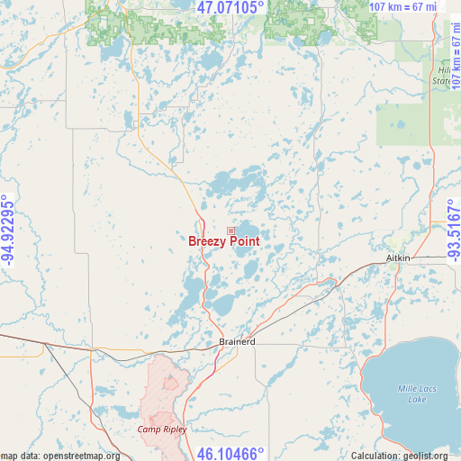
Breezy Point GPS coordinates[2]
46° 35' 24.036" North, 94° 13' 11.352" West
| Map corner | latitude | longitude |
|---|---|---|
| Upper-left | 47.07105°, | -94.92295° |
| Center: | 46.59001°, | -94.21982° |
| Lower-right: | 46.10466°, | -93.5167° |
| Map W x H: | 107.5×107.5 km | = 66.8×66.8mi |
| max Lat: | 71.29058° ⇑4% North |
| Breezy Point: | 46.59001° |
| min Lat: | ⇓96% South 19.06759° |
| min Long | Breezy Point | max Long |
| -171.73463° | -94.21982° | -66.98998° |
| W 30.8%⇐ | ⇒69.2% E |
Elevation
Elevation of Breezy Point is 378 m = 1240 ft, and this is 83.2 m = 273 ft above average elevation for this country.
| Max E: |
3189 m = 10463 ft | 17.8% |
| Breezy Point | 378 m 1240 ft | |
| Avg. | 294.8 m = 967 ft | |
Min E: |
-60 m = -197 ft | 82.2% |
See also: United States elevation on elevation.city.
Geographical zone
Breezy Point is located in North temperate zone (between Tropic of Cancer and the Arctic Circle). Distance of this North polar circle is 2220.9 km =1380 mi to North.| Distance of | km | miles | from Breezy Point |
|---|---|---|---|
| North Pole | 4826.7 | 2999.2 | to North |
| Arctic Circle | 2220.9 | 1380 | to North |
| Tropic Cancer | 2574.4 | 1599.7 | to South |
| Equator | 5180.3 | 3218.9 | to South |


Nearby cities:
15 places around Breezy Point: (largest is in red/bold)
• Aitkin
39.5 km =24.5 mi,  99°
99°
• Baxter
27.9 km =17.3 mi,  190°
190°
• Brainerd
25.8 km =16 mi,  176°
176°
• Crosby
23.4 km =14.5 mi,  120°
120°
• Cross Lake
11.2 km =7 mi,  46°
46°
• Deerwood
27.8 km =17.3 mi, 117°
• East Gull Lake
22.8 km =14.2 mi,  207°
207°
• Emily
25.4 km =15.8 mi, 51°
• Ironton
22.3 km =13.9 mi, 124°
• Lake Shore
15.8 km =9.8 mi,  222°
222°
• Motley
43.1 km =26.8 mi,  229°
229°
• Nisswa
9.3 km =5.8 mi, 214°
• Pequot Lakes
7 km =4.3 mi,  281°
281°
• Pine River
20 km =12.4 mi,  315°
315°
• Staples
51 km =31.7 mi,  239°
239°
Sources, notices
• [Note1] Compared only with cities in United States existing in our database
• [Src1] Map data: © OpenStreetMap contributors (CC-BY-SA)
• [Src2] Other city data from geonames.org with taken over terms of usage.
• [Src3] Geographical zone / Annual Mean Temperature by Robert A. Rohde @ Wikipedia
